Products 1 - 34 of 34
Filter Results
Done
Products 1 to 34 of 34
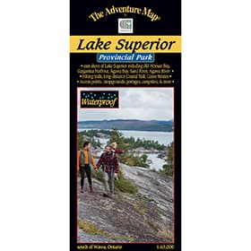 The Adventure Map Lake Superior Provincial Park
$12.20US
The Adventure Map Lake Superior Provincial Park
$12.20US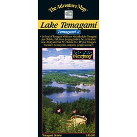 The Adventure Map Temagami 2 Lake Temagami
$12.20US
The Adventure Map Temagami 2 Lake Temagami
$12.20US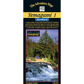 The Adventure Map Temagami 1 Northeast
$12.20US
The Adventure Map Temagami 1 Northeast
$12.20US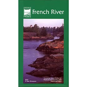 French River Planning Map
$14.50US
French River Planning Map
$14.50US The Adventure Map Algonquin 1 Corridor North
$12.20US
The Adventure Map Algonquin 1 Corridor North
$12.20US The Adventure Map Pukaskwa National Park
$12.20US
The Adventure Map Pukaskwa National Park
$12.20US The Adventure Map Algonquin 2 Northwest
$12.20US
The Adventure Map Algonquin 2 Northwest
$12.20US The Adventure Map Spanish River Provincial Park
$12.20US
The Adventure Map Spanish River Provincial Park
$12.20US The Adventure Map Mississagi River
$12.20US
The Adventure Map Mississagi River
$12.20US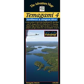 The Adventure Map Temagami 4 Northwest & Sturgeon River
$12.20US
The Adventure Map Temagami 4 Northwest & Sturgeon River
$12.20US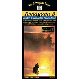 The Adventure Map Temagami 3 Marten River & Temagami River Area
$10.67US
The Adventure Map Temagami 3 Marten River & Temagami River Area
$10.67US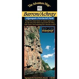 The Adventure Map Algonquin Barron/Achray
$7.61US
The Adventure Map Algonquin Barron/Achray
$7.61US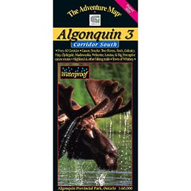 The Adventure Map Algonquin 3 Corridor South
$12.20US
The Adventure Map Algonquin 3 Corridor South
$12.20US The Adventure Map Mattawa River
$10.67US
The Adventure Map Mattawa River
$10.67US The Adventure Map Algonquin 4 Central North
$12.20US
The Adventure Map Algonquin 4 Central North
$12.20US The Adventure Map Quetico Provincial Park and Area
$12.20US
The Adventure Map Quetico Provincial Park and Area
$12.20US The Adventure Map Algonquin PP8 - Opeongo
$7.61US
The Adventure Map Algonquin PP8 - Opeongo
$7.61US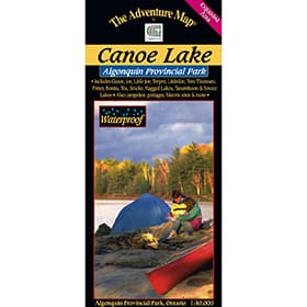 The Adventure Map Algonquin Canoe Lake
$7.61US
The Adventure Map Algonquin Canoe Lake
$7.61US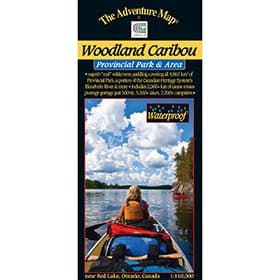 The Adventure Map Woodland Caribou Provincial Park
$12.97US
The Adventure Map Woodland Caribou Provincial Park
$12.97US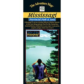 The Adventure Map Mississagi Provincial Park and Area
$11.44US
The Adventure Map Mississagi Provincial Park and Area
$11.44US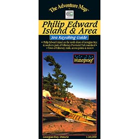 The Adventure Map Philip Edward Island
$10.67US
The Adventure Map Philip Edward Island
$10.67US The Adventure Map Missinaibi 3 - Mattice to Moosonee
$12.20US
The Adventure Map Missinaibi 3 - Mattice to Moosonee
$12.20US Killarney Planning Map
$12.20US
Killarney Planning Map
$12.20US The Adventure Map Frost Centre
$10.67US
The Adventure Map Frost Centre
$10.67US The Adventure Map Poker Lake
$5.32US
The Adventure Map Poker Lake
$5.32US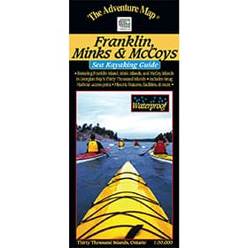 The Adventure Map Franklin, Mink & McCoy Islands
$10.67US
The Adventure Map Franklin, Mink & McCoy Islands
$10.67US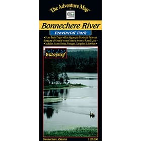 The Adventure Map Bonnechere River
$6.85US
The Adventure Map Bonnechere River
$6.85US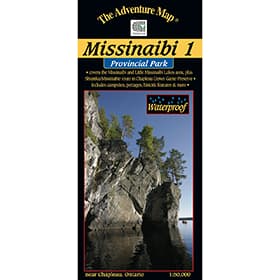 The Adventure Map Missinaibi 1 - Lakes Area
$12.20US
The Adventure Map Missinaibi 1 - Lakes Area
$12.20US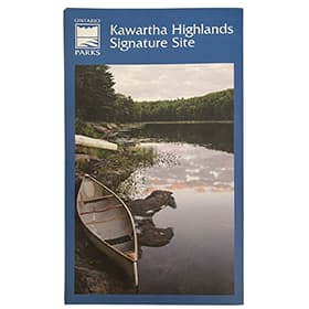 Kawartha Highlands Signature Site Map
$9.91US
Kawartha Highlands Signature Site Map
$9.91US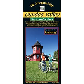 The Adventure Map Dundas Valley Conservation Area
$7.61US
The Adventure Map Dundas Valley Conservation Area
$7.61US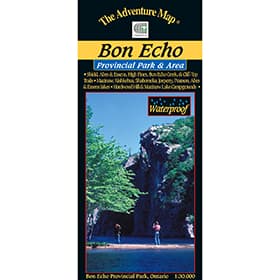 The Adventure Map Bon Echo Provincial Park
$9.91US
The Adventure Map Bon Echo Provincial Park
$9.91US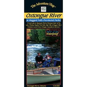 The Adventure Map Oxtongue River Provincial Park
$6.85USSold Out
The Adventure Map Oxtongue River Provincial Park
$6.85USSold Out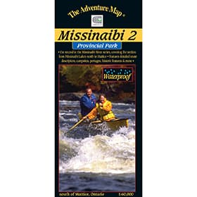 The Adventure Map Missinaibi 2 - Missinaibi Lake to Mattice
Sold Out
The Adventure Map Missinaibi 2 - Missinaibi Lake to Mattice
Sold Out Temagami Planning Map