Made to print Canada backroad map books, hiking trail maps and canoe routes from experts including Kevin Callan, Jeff McMurtry, Mors Kochanski, Ray Mears, Les Stroud and more.
Canada Map Books
Products 41 - 62 of 62
Filter Results
Done
Products 41 to 62 of 62
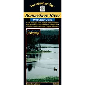 The Adventure Map Bonnechere River
$8.95
The Adventure Map Bonnechere River
$8.95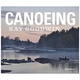 Ray Goodwin: Canoeing - Second Edition
$43.50
Ray Goodwin: Canoeing - Second Edition
$43.50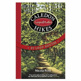 Caledon Hikes
$29.95
Caledon Hikes
$29.95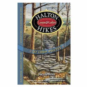 Halton Hikes
$29.95
Halton Hikes
$29.95 Waterloo, Wellington & Guelph Hikes
$29.95
Waterloo, Wellington & Guelph Hikes
$29.95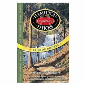 Hamilton and Area Hikes
$29.95
Hamilton and Area Hikes
$29.95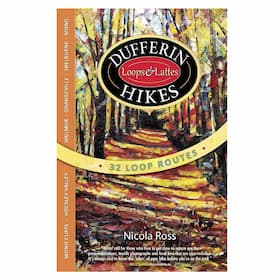 Dufferin Hikes
$29.95
Dufferin Hikes
$29.95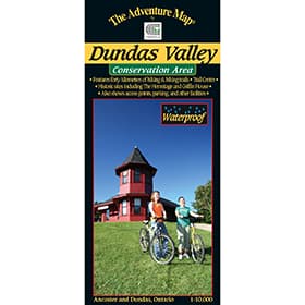 The Adventure Map Dundas Valley Conservation Area
$9.95
The Adventure Map Dundas Valley Conservation Area
$9.95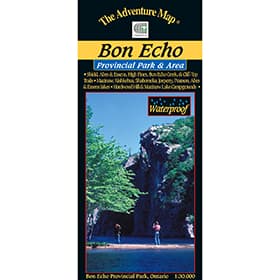 The Adventure Map Bon Echo Provincial Park
$12.95
The Adventure Map Bon Echo Provincial Park
$12.95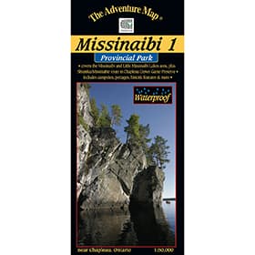 The Adventure Map Missinaibi 1 - Lakes Area
$15.95
The Adventure Map Missinaibi 1 - Lakes Area
$15.95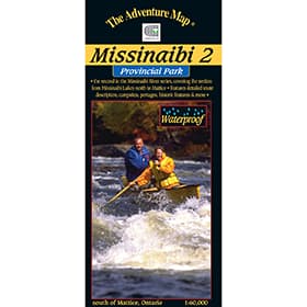 The Adventure Map Missinaibi 2 - Missinaibi Lake to Mattice
$15.95
The Adventure Map Missinaibi 2 - Missinaibi Lake to Mattice
$15.95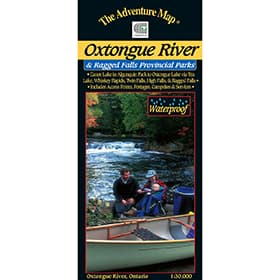 The Adventure Map Oxtongue River Provincial Park
$8.95
The Adventure Map Oxtongue River Provincial Park
$8.95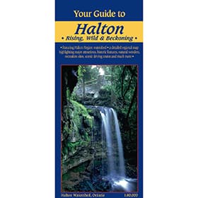 Your Guide to Halton Region
$5.95
Your Guide to Halton Region
$5.95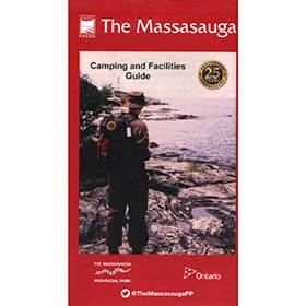 The Massasauga Planning
$18.95
The Massasauga Planning
$18.95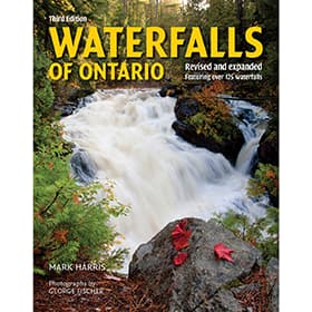 Waterfalls of Ontario
$19.95
Waterfalls of Ontario
$19.95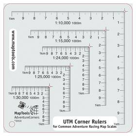 UTM Corner Ruler Adventure Racing
$8.95
UTM Corner Ruler Adventure Racing
$8.95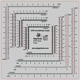 UTM Slot Tool
$14.95
UTM Slot Tool
$14.95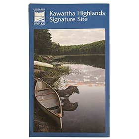 Kawartha Highlands Signature Site Map
$12.95
Kawartha Highlands Signature Site Map
$12.95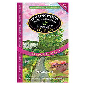 Collingwood, the Blue Mountains & Beaver Valley Hikes
$29.95
Collingwood, the Blue Mountains & Beaver Valley Hikes
$29.95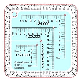 Pocket Size UTM Corner Ruler
$7.95
Pocket Size UTM Corner Ruler
$7.95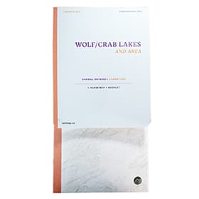 LatLong Wolf/Crab Lakes and Area
$15.00Sold Out
LatLong Wolf/Crab Lakes and Area
$15.00Sold Out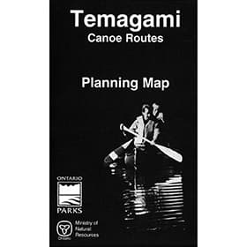 Temagami Planning Map
About Canada Map Books
Maps are essential when out on a trip through the Canadian wilderness. While route descriptions and trip planners are useful, it is an actual map that will be referred to when out in the field trying to find that portage or access point, or looking for an alternative route if plans unexpectedly change. We carry maps as part of field guides, or as stand alone, foldable units that can be stowed into packs or map cases. We even carry waterproof maps, to ensure you can read the information you need when you need it most.
Types of Canada Map Books
Kevin Callan Canoe & Camp Guides
Kevin Callan's canoe guides are some of the most detailed and useful guides out there - check out his route descriptions before you head out on your next adventure.
LatLong Maps
Based in Toronto, Ontario, LatLong produces large scale, attractive, highly detailed, functional maps for canoe tripping, backcountry camping, hiking, and more. Printed on a tear and water-resistant FSC paper in Canada.
Maps By Jeff
Maps by Jeff are waterproof maps of Algonquin, Killarney Park, Kawartha Highlands, Massassauga and the surrounding areas that are highly detailed, functionally beautiful, and relentlessly accurate.
Ontario Canoe Map Guides
Up-to-date back-country maps for Canoeing in Ontario provide detailed route options so you know all your hiking, canoeing and site seeing options.
Ontario Hiking Trail Guides
Enjoy your hike to the fullest with hiking trail guides for the Bruce Trail, Ganaraska Trail, maps in Algonquin, Killarney, or other Ontario Parks.
Our Canada Map Books
We stock only the best in Canada Map Books so you can rest assured knowing you're COEC Equipped.
The Adventure Map Bonnechere River The 35km Little Bonnechere River is considered one of Ontario's best canoeing rivers, with something for everybody. This 1:25,000 scale map and guide showcases the Little Bonnechere river that's situated between Basin Lake in Algonquin and Round Lake further south. This river route winds through beautiful scenic areas and opens up into a chain of lakes and into Bonnechere Provincial Park.
Ray Goodwin Canoeing- Second EditionRay Goodwin is known as the UK’s foremost canoe coach, and his book covers all aspects of the open canoe, from wilderness travel and design, with a focus on canoeing techniques. New to the second edition, is a section on vision pattern, a method of creating a map of a rapid. The second edition also dives deep into new solo rescue techniques, canoeing with children, and advanced lining and tracking.
Caledon HikesCaledon Hikes details 37 hiking loops in the Caledon region (northwest of Toronto) of Ontario including portions of the Bruce Trail, the Oak Ridges Moraine Trail, the Humber Valley Heritage Trail, the Grand Valley Trail, and the Trans Canada Trail.
Halton HikesHalton Hikes details 37 hiking loops in Halton Region (west/northwest of Toronto) Ontario including portions of the Bruce Trail, as well as municipal trails and conservation areas along the Niagara Escarpment in Oakville, Burlington, and up through Campbellville, Milton, Acton, Georgetown in to Rockwood, Eden Mills, Erin and more.
Waterloo, Wellington & Guelph HikesWaterloo, Wellington & Guelph Hikes offers 35 loop hiking routes in the Waterloo, Wellington & Guelph areas, including the Cambridge, Kitchener, Woowich, St.Jacobs, Elora, Erin, Fergus, Elmira and Rockwood areas. Ranging in length from 2.4 to 22 km, these loop hike routes in Waterloo, Wellington & Guelph include detailed colour maps, colour photos of landmarks, and local history and lore along the way.
Hamilton and Area HikesThe Hamilton area is home to over 100 waterfalls, and Hamilton and Area Hikes takes you to over 20 of them, and also includes loop hike routes in Stoney Creek, Dundas Valley, Paris, Grand River, Brantford, Cootes Paradise and Oshweken amongst others - with route lengths from 2.5 to 23.5 km in the Hamilton area and Brant County.
Dufferin HikesSet north of Peel and Caledon Regions, north west of the city of Toronto, Dufferin Region offers excellent hiking opportunities in and around Orangeville, Shelburne, Mono, in the Hockley Valley, and at Mono Cliffs. Dufferin Hikes outlines 32 loop hikes ranging in length from 2.2 to 21 km long, with detailed maps, colour photos and local history and lore.
The Adventure Map Dundas Valley Conservation AreaA 1:10,000 scale, waterproof map of the Dundas Valley Conservation Area. This 1200 hectare section along the Niagara Escarpment includes a section of the Bruce Trail, Carolinian forests, meadows, streams, and is an excellent destination for hiking, biking and horseback riding. It's ultra large scale ensures exceptional detail of the trail, topographic info and the area's vegetation.
The Adventure Map Bon Echo Provincial ParkOne of eastern Ontario's major provincial parks, this perennial favourite has something for everyone, including five great hiking trails, one of which climbs nearly 100 metres up the face of Mazinaw Rock to an impressive lookout over the lake. This 1:30,000 map details the several campgrounds, access points, facilities, and other attractions
The Adventure Map® Missinaibi 1 - Lakes AreaThe Missinaibi River is the longest unbroken stretch of river for paddling in Ontario. This map features Missinaibi Lake, and Little Missinaibi Lake, which both offer beautiful cliffs, old growth trees and pictograph sites. This map also covers paddling areas outside the park, such as Shumka/Missinabie Route in Chapleau Crown Game Preserve. View backcountry campsites, portages, access points and points of historical interest, all at a waterproof scale of 1:50,000.
The Adventure Map Missinaibi 2 - Missinaibi Lake to MatticeThis second guide in the Missinabi series covers 191 kms of water: from the north end of Missinaibi Lake to the Town of Mattice. Access to this area can be difficult, so to help in your preplanning stage, Chrismar added information about travel options to reach this destination, including car, shuttles, trains, and outfitters.
The Adventure Map Oxtongue River Provincial ParkOxtongue River & Ragged Falls Provincial Park is a gem located just west of Algonquin Park. This Waterproof map showcases Canoe Lake and Smoke Lake in Algonquin, to Oxtongue Lake, with several access points, and hiking trails to choose from.
Your Guide to Halton RegionThere are many conservation areas, agreement forests, and other protected areas within Halton Region. At a scale of 1:80:000, this map covers them, and all the Halton Region watersheds, stretching from Georgetown and Hamilton, scenic drives, birding areas, caving, pick your own farms, canoe and kayak launches, fishing and more.This paper map is great for travelling, because you'll be able to see the entirety of the area on all your adventures.
The Massasauga Planning MapStretching from Parry Sound to Moon River, Massasauga Provincial Park is located on the eastern shore of Georgian Bay and features hundreds of islands and inland lakes and forests - ideal for hiking, portaging and paddling.
Waterfalls of OntarioA guide to exploring Ontario's most beautiful waterfalls. With GPS coordinates, and accurate driving directions for each fall, this book will not only guide you there but dig deep into features with colour photographs, history, geography, and waterfall characteristics.
UTM Corner Ruler Adventure RacingThe UTM corner ruler Adventure Racing is useful when plotting or measuring a GPS position onto a topographic map, as a corner ruler will allow for very precise measurements to be made within the existing map grid square.
UTM Slot ToolThis tool gives you 14 of the most commonly used topographic map scales in a single card about the size of a CD. The slot style tool gives easy access to the map for marking, while maintaining superior accuracy.
Kawartha Highlands Signature Site Park MapThis official Ontario Parks map of the Kawartha Highlands Signature Site Park offers detailed information on access points, canoe routes, portage lengths, campsite locations, topography and other useful and interesting information to help plan and navigate your trip in the Kawartha Highlands.
Collingwood the Blue Mountains & Beaver Valley HikesCollingwood Hikes details 35 hiking loops in the Collingwood region of Southern Ontario including Blue Mountain & the Beaver Valley. Visit serene trails along Metcalfe Rock, Pinnacle Rock, Freedom Rock and Old Baldy to discover beautiful crevices, caves, and canyons.
utm-pocket-size-corner-rulerThe Pocket Size UTM Corner Ruler is small, compact, and indispensable when plotting or measuring a GPS position or co-ordinate onto a topographic map, as a corner ruler will allow for very precise measurements to be made within the existing map grid square.
LatLong Wolf/Crab Lakes and AreaSituated within the beautiful Kawartha Highlands Provincial Park, Wolf and Crab lakes are an ideal destination if you need a short escape to the wilderness. At a scale of 1:16,000 this waterproof and durable map features, trails and portages, navigation obstacles, campsites, points of interest, topography, and more.
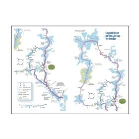
Sold Out Temagami Planning Map This general reference, paper map, is great for the at home planning phase of your trip to Temagami. The large, but small scale paper map, covers all the Ontario parks in the area, plus conservation areas, and crown land.