Menu
Trusted Equipment Trusted Equipment
Customer Service 5-Star Service
No Hassle Returns Expert Advice
Important Notice Regarding Changes in USA Policy to De Minimis Shipments: Due to changes made by the US government and the removal of the De Minimis exemptions for American customers, many postal services worldwide (including Canada Post) have suspended small package shipments to the USA until such time that they can fully comply with the reporting and administration requirements the change imposes. As a result, we are unable to use postal methods to ship orders until further notice. Orders can be shipped via FedEx only, and all duties, tariffs, brokerage and clearance charges will be covered by the shipping fee charged.
X
Canoe Atlas of the Little North

Canoe Atlas of the Little North

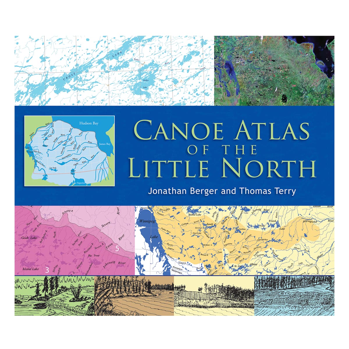
First Nations people call it Nishwawbe-Aski; "Land of the Original People." The area known as the Little North lies in Ontario and Manitoba, north of Lake Superior, east of Lake Winnipeg, west of James Bay and south of Hudson Bay. Early French fur traders referred to it as Le Petit Nord, as distinguished from the vast area west and north of Lake Winnipeg, Le Grand Nord. Despite its name, the Little North encompasses over 20 major lake and river systems within more than 500,000 square miles.

This remarkable atlas, in an oversize format, is a landmark publication - the result of five decades of travel, research and documentation.
1 Reviews
$74.58 US
Lone Pine Publishing Logo
5-Star Service
Trusted Equipment
5-Star Service
5-Star Service

A landmark reference on a vast and historic area.

First Nations people call it Nishwawbe-Aski, "Land of the Original People." The area known as the Little North lies in Ontario and Manitoba, north of Lake Superior, east of Lake Winnipeg, west of James Bay and south of Hudson Bay. Early French fur traders referred to it as Le Petit Nord, as distinguished from the vast area west and north of Lake Winnipeg, Le Grand Nord. Despite its name, the Little North encompasses over 20 major lake and river systems within more than 500,000 square miles.

This remarkable atlas, in an oversize format, is a landmark publication -- the result of five decades of travel, research and documentation. Its first section provides an overview of the region's geography, the nature of its canoe routes, and the influence of natural and cultural history on those routes. Its second, larger section features annotated versions of 50 topographic maps derived from the well-known Canadian National Topographic System and constructed in digital form by the Geographic Information Science Center at the University of California, Berkeley. Annotations include points of interest, portages, rapids and difficult passages.

This atlas is sure to be treasured by canoeists everywhere and by anyone fascinated by the history of the North.

Jonathan Berger holds a PhD in environmental planning. He has traveled, sketched and mapped the Little North since the early 1960s. He lives in Philadelphia.

Thomas Terry is an instructor in wilderness rock-climbing, canoe-tripping and first-aid. He outfits and guides custom canoe trips and serves as a community development and wilderness consultant. He lives in Sioux Lookout, Ontario.

144 pages

Includes: 1,200 maps and illustrations, 50 large route maps, and 8 large supplementary maps; bibliography, index

Dimensions: 1/4" x 13 3/4" x 1"

Specifications
SKUCANATLLITC
BrandLone Pine Publishing

Reviews

Back to Top