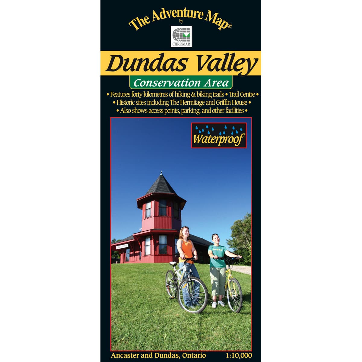
The Adventure Map Dundas Valley Conservation Area
A 1:10,000 scale, waterproof map of the Dundas Valley Conservation Area. This 1200 hectare section along the Niagara Escarpment includes a section of the Bruce Trail, Carolinian forests, meadows, streams, and is an excellent destination for hiking, biking and horseback riding. It's ultra large scale ensures exceptional detail of the trail, topographic info and the area's vegetation.
$9.95
Trusted Equipment
5-Star Service


