Made to print Canada backroad map books, hiking trail maps and canoe routes from experts including Kevin Callan, Jeff McMurtry, Mors Kochanski, Ray Mears, Les Stroud and more.
Canada Map Books
Products 1 - 40 of 69
Filter Results
Done
Products 1 to 40 of 69
coec choice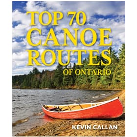 Top 70 Canoe Routes of Ontario
$35.00coec choice
Top 70 Canoe Routes of Ontario
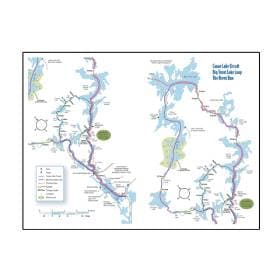
$35.00coec choice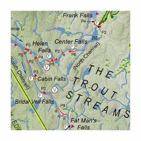 Temagami Planning Map - 3rd Edition
$39.00
Temagami Planning Map - 3rd Edition
$39.00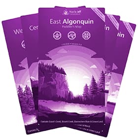 Maps By Jeff - Algonquin Maps
$23.95
Maps By Jeff - Algonquin Maps
$23.95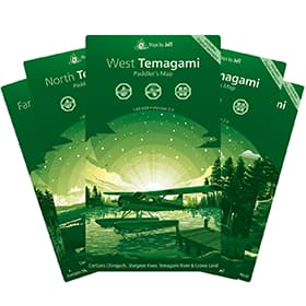 Maps By Jeff - Temagami Paddling Map
$28.50
Maps By Jeff - Temagami Paddling Map
$28.50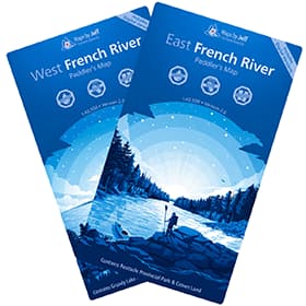 Maps By Jeff - French River Maps
$23.95
Maps By Jeff - French River Maps
$23.95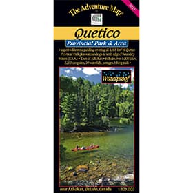 The Adventure Map Quetico Provincial Park and Area
$16.95
The Adventure Map Quetico Provincial Park and Area
$16.95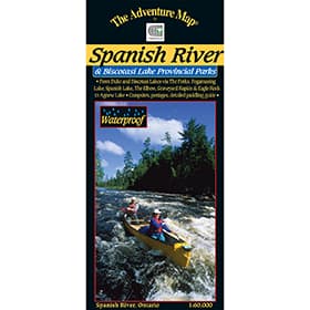 The Adventure Map Spanish River Provincial Park
$15.95
The Adventure Map Spanish River Provincial Park
$15.95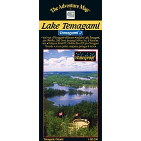 The Adventure Map Temagami 2 Lake Temagami
$16.95
The Adventure Map Temagami 2 Lake Temagami
$16.95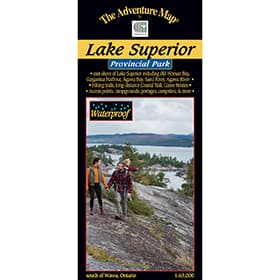 The Adventure Map Lake Superior Provincial Park
$16.95
The Adventure Map Lake Superior Provincial Park
$16.95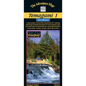 The Adventure Map Temagami 1 Northeast
$16.95
The Adventure Map Temagami 1 Northeast
$16.95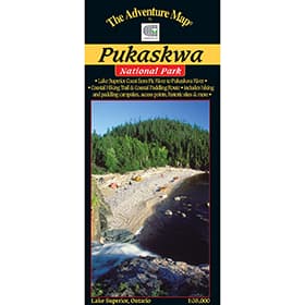 The Adventure Map Pukaskwa National Park
$16.95
The Adventure Map Pukaskwa National Park
$16.95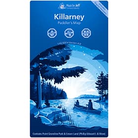 Maps By Jeff - Killarney Paddling Map
$23.95
Maps By Jeff - Killarney Paddling Map
$23.95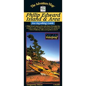 The Adventure Map Philip Edward Island
$13.95
The Adventure Map Philip Edward Island
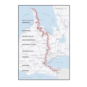
$13.95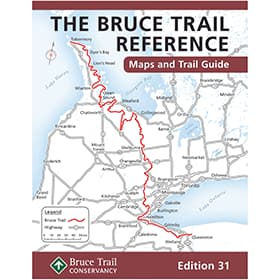 The Bruce Trail Guide - Edition 31
$44.95
The Bruce Trail Guide - Edition 31
$44.95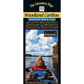 The Adventure Map Woodland Caribou Provincial Park
$16.95
The Adventure Map Woodland Caribou Provincial Park
$16.95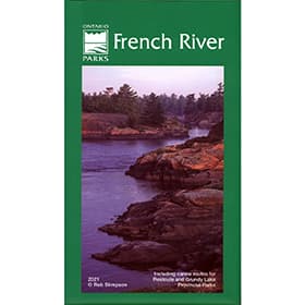 French River Planning Map
$18.95
French River Planning Map
$18.95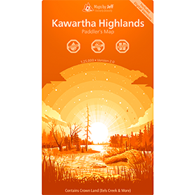 Maps By Jeff - Kawartha Highlands Paddling Map
$23.95
Maps By Jeff - Kawartha Highlands Paddling Map
$23.95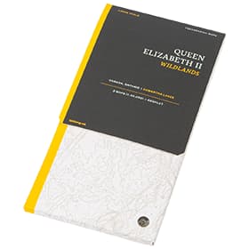 LatLong Queen Elizabeth II Wildlands Provincial Park Map
$18.00
LatLong Queen Elizabeth II Wildlands Provincial Park Map
$18.00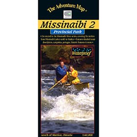 The Adventure Map Missinaibi 2 - Missinaibi Lake to Mattice
$16.95
The Adventure Map Missinaibi 2 - Missinaibi Lake to Mattice
$16.95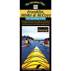 The Adventure Map Franklin, Mink & McCoy Islands
$13.95
The Adventure Map Franklin, Mink & McCoy Islands
$13.95 The Adventure Map Bon Echo Provincial Park
$12.95
The Adventure Map Bon Echo Provincial Park
$12.95 The Adventure Map Missinaibi 1 - Lakes Area
$16.95
The Adventure Map Missinaibi 1 - Lakes Area
$16.95 The Adventure Map Missinaibi 3 - Mattice to Moosonee
$16.95
The Adventure Map Missinaibi 3 - Mattice to Moosonee
$16.95 A Paddler's Guide to Quetico and Beyond
$24.95
A Paddler's Guide to Quetico and Beyond
$24.95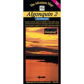 The Adventure Map Algonquin 2 Northwest
$16.95
The Adventure Map Algonquin 2 Northwest
$16.95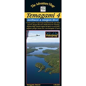 The Adventure Map Temagami 4 Northwest & Sturgeon River
$16.95
The Adventure Map Temagami 4 Northwest & Sturgeon River
$16.95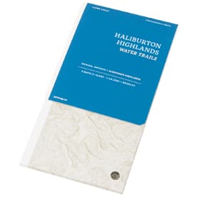 LatLong Haliburton Highlands Water Trails Maps
$18.00
LatLong Haliburton Highlands Water Trails Maps
$18.00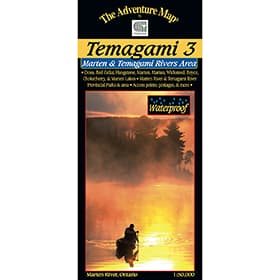 The Adventure Map Temagami 3 Marten River & Temagami River Area
$13.95
The Adventure Map Temagami 3 Marten River & Temagami River Area
$13.95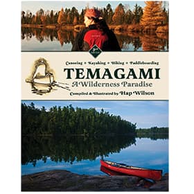 Temagami - A Wilderness Paradise
$24.95
Temagami - A Wilderness Paradise
$24.95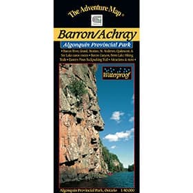 The Adventure Map Algonquin Barron/Achray
$9.95
The Adventure Map Algonquin Barron/Achray
$9.95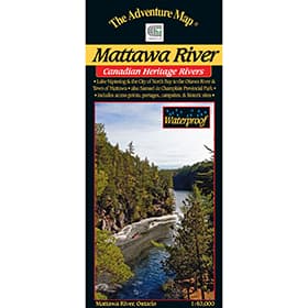 The Adventure Map Mattawa River
$13.95
The Adventure Map Mattawa River
$13.95 The Adventure Map Algonquin 1 Corridor North
$16.95
The Adventure Map Algonquin 1 Corridor North
$16.95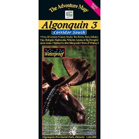 The Adventure Map Algonquin 3 Corridor South
$16.95
The Adventure Map Algonquin 3 Corridor South
$16.95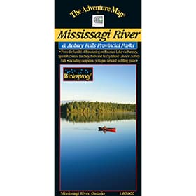 The Adventure Map Mississagi River
$16.95
The Adventure Map Mississagi River
$16.95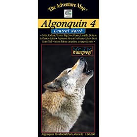 The Adventure Map Algonquin 4 Central North
$16.95
The Adventure Map Algonquin 4 Central North
$16.95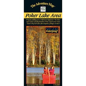 The Adventure Map Poker Lake
$6.95
The Adventure Map Poker Lake
$6.95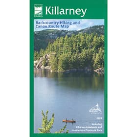 Killarney Planning Map
$24.95
Killarney Planning Map
$24.95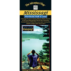 The Adventure Map Mississagi Provincial Park and Area
$14.95
The Adventure Map Mississagi Provincial Park and Area
$14.95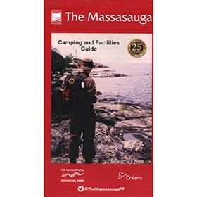 The Massasauga Planning
$16.95
The Massasauga Planning
$16.95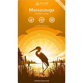 Maps By Jeff - Massasauga Paddling Map
$23.95
Maps By Jeff - Massasauga Paddling Map
$23.95
Top 70 Canoe Routes of Ontario
$35.00coec choiceTemagami Planning Map - 3rd Edition
$39.00Maps By Jeff - Algonquin Maps
$23.95Maps By Jeff - Temagami Paddling Map
$28.50Maps By Jeff - French River Maps
$23.95The Adventure Map Quetico Provincial Park and Area
$16.95The Adventure Map Spanish River Provincial Park
$15.95The Adventure Map Temagami 2 Lake Temagami
$16.95The Adventure Map Lake Superior Provincial Park
$16.95The Adventure Map Temagami 1 Northeast
$16.95The Adventure Map Pukaskwa National Park
$16.95Maps By Jeff - Killarney Paddling Map
$23.95The Adventure Map Philip Edward Island
$13.95The Bruce Trail Guide - Edition 31
$44.95The Adventure Map Woodland Caribou Provincial Park
$16.95French River Planning Map
$18.95Maps By Jeff - Kawartha Highlands Paddling Map
$23.95LatLong Queen Elizabeth II Wildlands Provincial Park Map
$18.00The Adventure Map Missinaibi 2 - Missinaibi Lake to Mattice
$16.95The Adventure Map Franklin, Mink & McCoy Islands
$13.95The Adventure Map Bon Echo Provincial Park
$12.95The Adventure Map Missinaibi 1 - Lakes Area
$16.95The Adventure Map Missinaibi 3 - Mattice to Moosonee
$16.95A Paddler's Guide to Quetico and Beyond
$24.95The Adventure Map Algonquin 2 Northwest
$16.95The Adventure Map Temagami 4 Northwest & Sturgeon River
$16.95LatLong Haliburton Highlands Water Trails Maps
$18.00The Adventure Map Temagami 3 Marten River & Temagami River Area
$13.95Temagami - A Wilderness Paradise
$24.95The Adventure Map Algonquin Barron/Achray
$9.95The Adventure Map Mattawa River
$13.95The Adventure Map Algonquin 1 Corridor North
$16.95The Adventure Map Algonquin 3 Corridor South
$16.95The Adventure Map Mississagi River
$16.95The Adventure Map Algonquin 4 Central North
$16.95The Adventure Map Poker Lake
$6.95Killarney Planning Map
$24.95The Adventure Map Mississagi Provincial Park and Area
$14.95The Massasauga Planning
$16.95Maps By Jeff - Massasauga Paddling Map
$23.95About Canada Map Books
Maps are essential when out on a trip through the Canadian wilderness. While route descriptions and trip planners are useful, it is an actual map that will be referred to when out in the field trying to find that portage or access point, or looking for an alternative route if plans unexpectedly change. We carry maps as part of field guides, or as stand alone, foldable units that can be stowed into packs or map cases. We even carry waterproof maps, to ensure you can read the information you need when you need it most.
Types of Canada Map Books
Kevin Callan Canoe & Camp Guides
Kevin Callan's canoe guides are some of the most detailed and useful guides out there - check out his route descriptions before you head out on your next adventure.
LatLong Maps
Based in Toronto, Ontario, LatLong produces large scale, attractive, highly detailed, functional maps for canoe tripping, backcountry camping, hiking, and more. Printed on a tear and water-resistant FSC paper in Canada.
Maps By Jeff
Maps by Jeff are waterproof maps of Algonquin, Killarney Park, Kawartha Highlands, Massassauga and the surrounding areas that are highly detailed, functionally beautiful, and relentlessly accurate.
Ontario Canoe Map Guides
Up-to-date back-country maps for Canoeing in Ontario provide detailed route options so you know all your hiking, canoeing and site seeing options.
Ontario Hiking Trail Guides
Enjoy your hike to the fullest with hiking trail guides for the Bruce Trail, Ganaraska Trail, maps in Algonquin, Killarney, or other Ontario Parks.