Enjoy your hike to the fullest with hiking trail guides for the Bruce Trail, Ganaraska Trail, maps in Algonquin, Killarney, or other Ontario Parks.
Ontario Hiking Trail Guides
Products 1 - 15 of 15
Filter Results
Done
Products 1 to 15 of 15
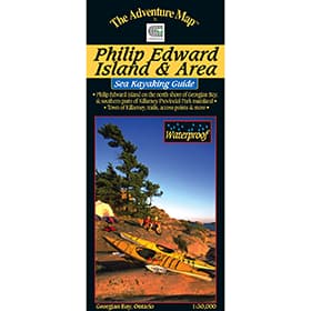 The Adventure Map Philip Edward Island
$13.95
The Adventure Map Philip Edward Island
$13.95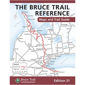 The Bruce Trail Guide - Edition 31
$44.95
The Bruce Trail Guide - Edition 31
$44.95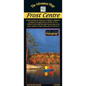 The Adventure Map Frost Centre
$13.95
The Adventure Map Frost Centre
$13.95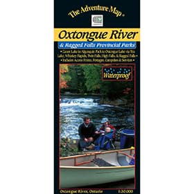 The Adventure Map Oxtongue River Provincial Park
$8.95
The Adventure Map Oxtongue River Provincial Park
$8.95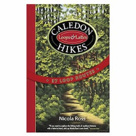 Caledon Hikes
$29.95
Caledon Hikes
$29.95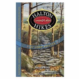 Halton Hikes
$29.95
Halton Hikes
$29.95 Waterloo, Wellington & Guelph Hikes
$29.95
Waterloo, Wellington & Guelph Hikes
$29.95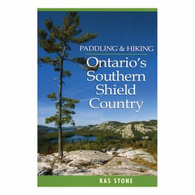 Paddling & Hiking Ontario's Southern Shield Country
$24.95
Paddling & Hiking Ontario's Southern Shield Country
$24.95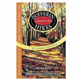 Dufferin Hikes
$29.95
Dufferin Hikes
$29.95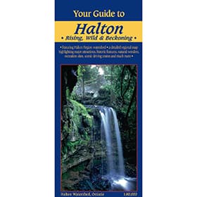 Your Guide to Halton Region
$5.95
Your Guide to Halton Region
$5.95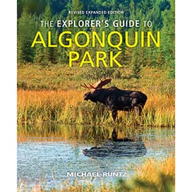 The Explorer's Guide to Algonquin Park
$29.95
The Explorer's Guide to Algonquin Park
$29.95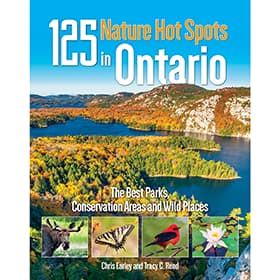 125 Nature Hot Spots in Ontario
$29.95Sold Out
125 Nature Hot Spots in Ontario
$29.95Sold Out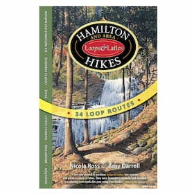 Hamilton and Area Hikes
Sold Out
Hamilton and Area Hikes
Sold Out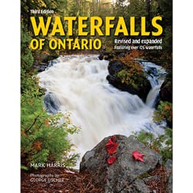 Waterfalls of Ontario
Sold Out
Waterfalls of Ontario
Sold Out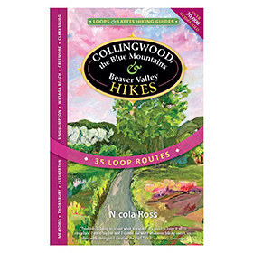 Collingwood, the Blue Mountains & Beaver Valley Hikes
About Ontario Hiking Trail Guides
Hiking provides on the opportunity to immerse oneself in one’s surroundings and move at a uniquely human pace - allowing for close contact with flora and fauna, and re-establishment of a bond with the natural world. An Ontario hiking guide will provide route information, topography, and camp site locations to facilitate an afternoon walk, day hike, or multi-day expedition.
Our Ontario Hiking Trail Guides
We stock only the best in Ontario Hiking Trail Guides so you can rest assured knowing you're COEC Equipped.
The Adventure Map® Philip Edward IslandGeorgian Bay is home to some of the most beautiful landscapes, including Phillip Edward Island. Neighbouring with Killarney Provincial Park, and noted as one of the best areas for wild kayaking and camping in North America, this map showcases Collins Inlet, Beaverstone Bay, and the south edge of Killarney.
The Bruce Trail Guide Edition 31The new, 31st edition Bruce Trail Guide is the definitive resource for exploring the Bruce Trail. It is your key to a safe and enjoyable time on all 890km of the oldest and longest continuous public footpath in Canada.
The Adventure Map® Frost CentreThis area of the Haliburton and Algonquin Highlands is great for hiking, backpacking and paddling, with boat access to St Nora Lake at the Leslie Frost Centre. This 1:50,000 scale map showcases over 500km² of wilderness in the Halliburton Highlands region of Ontario, including the popular 200km² tract of Crown Land known as the Leslie Frost Centre lands. A great destination for paddler and backpackers alike.
The Adventure Map Oxtongue River Provincial ParkOxtongue River & Ragged Falls Provincial Park is a gem located just west of Algonquin Park. This Waterproof map showcases Canoe Lake and Smoke Lake in Algonquin, to Oxtongue Lake, with several access points, and hiking trails to choose from.
Caledon HikesCaledon Hikes details 37 hiking loops in the Caledon region (northwest of Toronto) of Ontario including portions of the Bruce Trail, the Oak Ridges Moraine Trail, the Humber Valley Heritage Trail, the Grand Valley Trail, and the Trans Canada Trail.
Halton HikesHalton Hikes details 37 hiking loops in Halton Region (west/northwest of Toronto) Ontario including portions of the Bruce Trail, as well as municipal trails and conservation areas along the Niagara Escarpment in Oakville, Burlington, and up through Campbellville, Milton, Acton, Georgetown in to Rockwood, Eden Mills, Erin and more.
Waterloo, Wellington & Guelph HikesWaterloo, Wellington & Guelph Hikes offers 35 loop hiking routes in the Waterloo, Wellington & Guelph areas, including the Cambridge, Kitchener, Woowich, St.Jacobs, Elora, Erin, Fergus, Elmira and Rockwood areas. Ranging in length from 2.4 to 22 km, these loop hike routes in Waterloo, Wellington & Guelph include detailed colour maps, colour photos of landmarks, and local history and lore along the way.
Paddling & Hiking Ontario's Southern Shield CountryA guide to single day excursions, for both paddling and hiking in southern Ontario's beautiful and rugged shield country.
Dufferin HikesSet north of Peel and Caledon Regions, north west of the city of Toronto, Dufferin Region offers excellent hiking opportunities in and around Orangeville, Shelburne, Mono, in the Hockley Valley, and at Mono Cliffs. Dufferin Hikes outlines 32 loop hikes ranging in length from 2.2 to 21 km long, with detailed maps, colour photos and local history and lore.
Your Guide to Halton RegionThere are many conservation areas, agreement forests, and other protected areas within Halton Region. At a scale of 1:80:000, this map covers them, and all the Halton Region watersheds, stretching from Georgetown and Hamilton, scenic drives, birding areas, caving, pick your own farms, canoe and kayak launches, fishing and more.This paper map is great for travelling, because you'll be able to see the entirety of the area on all your adventures.
The Explorer's Guide to Algonquin ParkA revised guide to more than 9065 square km of Algonquin Park, including access points, hiking trails, canoe routes, optimal wildlife viewing areas and times, historical points of interest, as well as stunning photography from the author who has spent decades exploring the park.
125 Nature Hot Spots in OntarioNewly revised, 125 Nature Hot Spots in Ontario has been organized by region, and features 15 new destinations to explore. The guide gives you an inside look to the amazing natural range that Ontario has to offer, from the warbler capital of North America, to soaring clifftops, the oldest rock on earth, and the province's tallest white pine.
Sold Out Hamilton and Area HikesThe Hamilton area is home to over 100 waterfalls, and Hamilton and Area Hikes takes you to over 20 of them, and also includes loop hike routes in Stoney Creek, Dundas Valley, Paris, Grand River, Brantford, Cootes Paradise and Oshweken amongst others - with route lengths from 2.5 to 23.5 km in the Hamilton area and Brant County.
Sold Out Waterfalls of OntarioA guide to exploring Ontario's most beautiful waterfalls. With GPS coordinates, and accurate driving directions for each fall, this book will not only guide you there but dig deep into features with colour photographs, history, geography, and waterfall characteristics.
Sold Out Collingwood the Blue Mountains & Beaver Valley HikesCollingwood Hikes details 35 hiking loops in the Collingwood region of Southern Ontario including Blue Mountain & the Beaver Valley. Visit serene trails along Metcalfe Rock, Pinnacle Rock, Freedom Rock and Old Baldy to discover beautiful crevices, caves, and canyons.