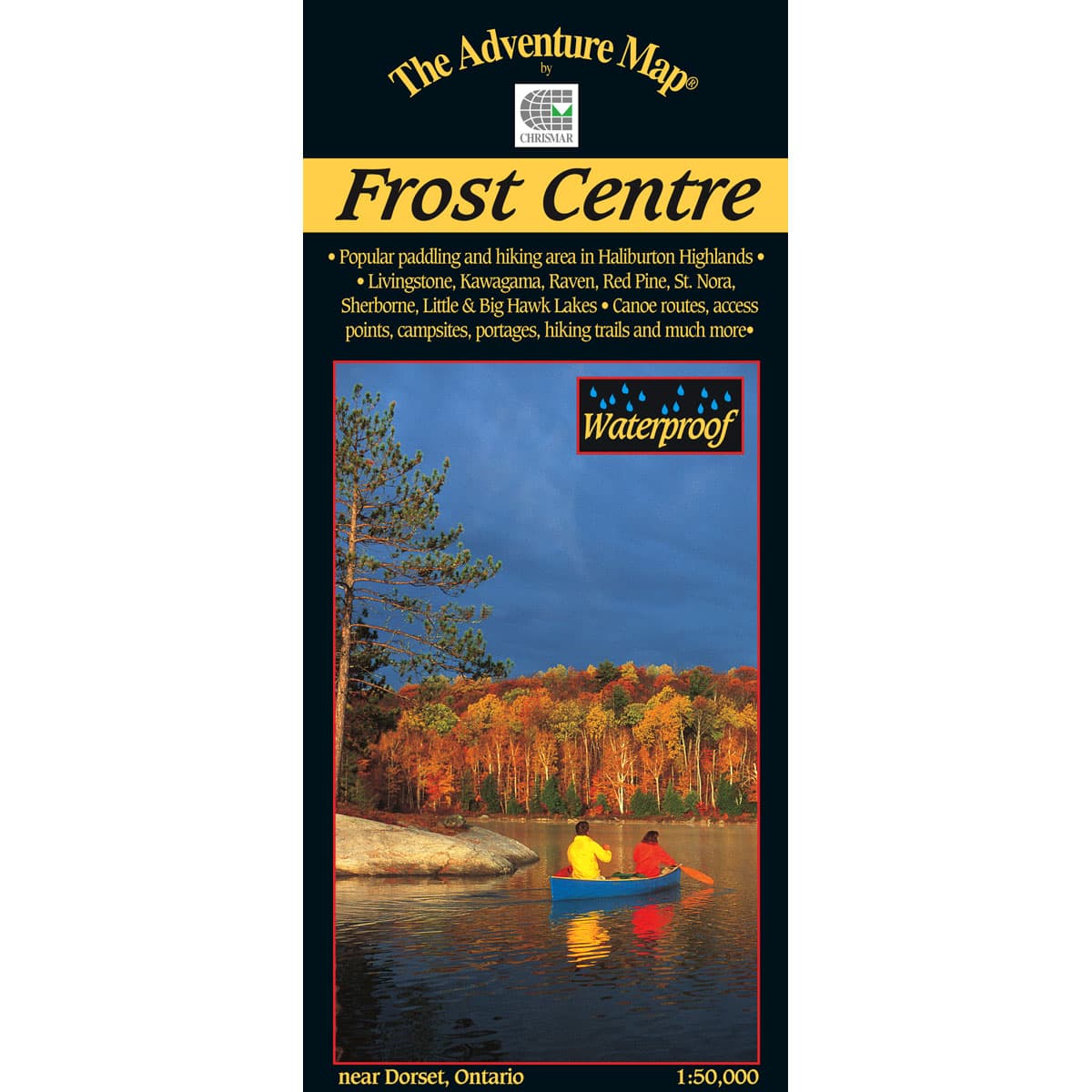
The Adventure Map Frost Centre
This area of the Haliburton and Algonquin Highlands is great for hiking, backpacking and paddling, with boat access to St Nora Lake at the Leslie Frost Centre. This 1:50,000 scale map showcases over 500km² of wilderness in the Halliburton Highlands region of Ontario, including the popular 200km² tract of Crown Land known as the Leslie Frost Centre lands. A great destination for paddler and backpackers alike.
$13.95
Trusted Equipment
5-Star Service


