Based in Toronto, Ontario, LatLong produces large scale, attractive, highly detailed, functional maps for canoe tripping, backcountry camping, hiking, and more. Printed on a tear and water-resistant FSC paper in Canada.
Our Mississauga retail store will be closed Friday, July 24, for staff field training. Online ordering remains available. Regular store hours resume Saturday, July 25.
X
LatLong Maps
Products 1 - 4 of 4
About LatLong Maps
Each LatLong map set includes multiple maps, an informational booklet, and a scale ruler for marking distances and taking notes, printed on FSC tear resistant, water resistant paper in Canada, these maps are beautifully detailed and provide all necessary information for canoeing, hiking and making use of these areas.Our LatLong Maps
We stock only the best in LatLong Maps so you can rest assured knowing you're COEC Equipped.
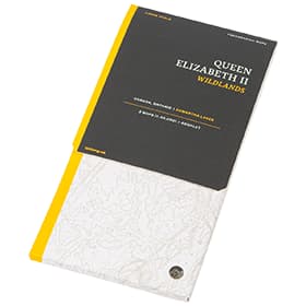
Queen Elizabeth II Wildlands Provincial Park MapQueen Elizabeth II Wildlands Provincial Park is the second largest wilderness area in south central Ontario. This two map set (1:36,000) provides detailed info on campsites, trails and portages, navigation obstacles, points of interest, contours lines, and more.
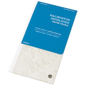
Haliburton Highlands Water Trails MapsHailburton Highlands Water Trails Maps cover the Frost Centre and Poker Lakes regions of South Central Ontario. This two map set (1:36,000 & 1:18,000 ) provides detailed info on campsites, trails and portages, navigation obstacles, points of interest, contours lines, and more.
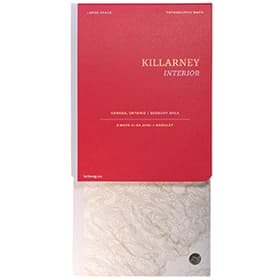
LatLong Killarney Provincial Park MapLatLong's Killarney Provincial Park map has newly re-numbered sites in the park (2022) listed correctly, and offers two 1:65,000 maps that feature campsites, trails and portages, points of interest and elevations that cover the entire park, as well as neighbouring Point Grondine Provincial Park. An excellent reference for all your Killarney trip planning.
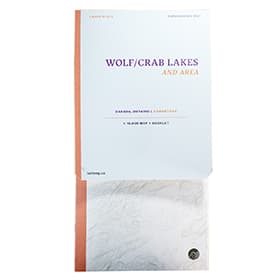
LatLong Wolf/Crab Lakes and AreaSituated within the beautiful Kawartha Highlands Provincial Park, Wolf and Crab lakes are an ideal destination if you need a short escape to the wilderness. At a scale of 1:16,000 this waterproof and durable map features, trails and portages, navigation obstacles, campsites, points of interest, topography, and more.