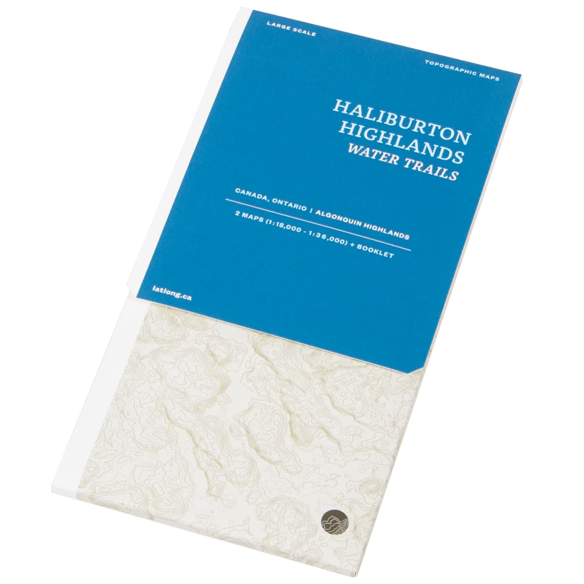
LatLong Haliburton Highlands Water Trails Maps
Hailburton Highlands Water Trails Maps cover the Frost Centre and Poker Lakes regions of South Central Ontario. This two map set (1:36,000 & 1:18,000 ) provides detailed info on campsites, trails and portages, navigation obstacles, points of interest, contours lines, and more.
$18.00
Trusted Equipment
5-Star Service


