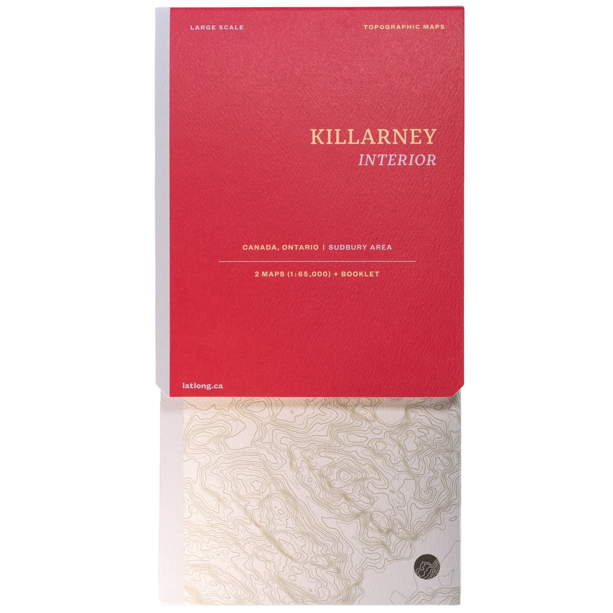
LatLong Killarney Provincial Park Map
LatLong's Killarney Provincial Park map has newly re-numbered sites in the park (2022) listed correctly, and offers two 1:65,000 maps that feature campsites, trails and portages, points of interest and elevations that cover the entire park, as well as neighbouring Point Grondine Provincial Park. An excellent reference for all your Killarney trip planning.
$22.00

Trusted Equipment
5-Star Service


