Maps By Jeff - Temagami Paddling Map
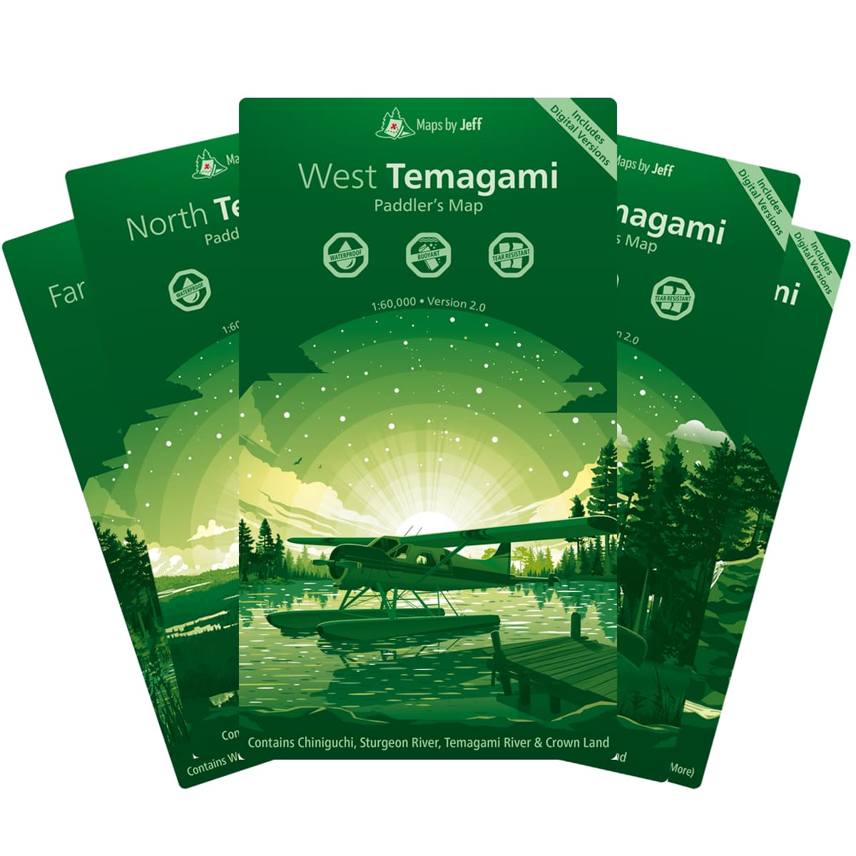
Maps By Jeff's Temagami paddling maps, are five, new waterproof maps of the Temagami region and surrounding area that are highly detailed, functionally beautiful, and relentlessly accurate.
$28.50

Trusted Equipment
5-Star Service


