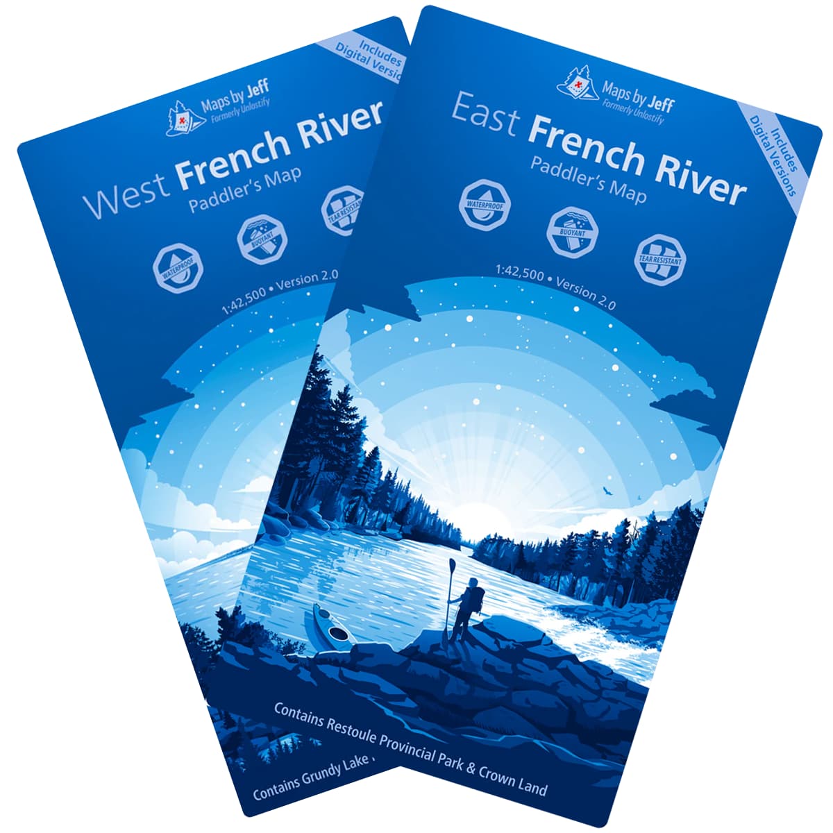
Due to the changes to USA government De Minis rules,we are unable to use postal methods to ship orders until further notice. Orders will be shipped via FedEx only, and all duties, tariffs, brokerage and clearance charges will be covered by the shipping fee charged.
X
Maps By Jeff's French River are highly detailed waterproof maps of the French River and the surrounding area that not only details campsites and canoe routes, but also topography, portages, local history, flora, fauna, crown land, hunting zones, fire towers, cell towers, and numerous corrections to routes and portages shown on other maps.
Available in 2 sectors:
The East French River map covers Highway 69 up to Lake Nipissing.
The West French River map covers Highway 69 down to Georgian Bay.
Scale: 1:42,500
| Specifications | |
|---|---|
| SKU | 9781989464--- |
| Brand | Maps By Jeff |


