Menu
Trusted Equipment Trusted Equipment
Fast, Free Shipping Fast, Free Shipping
Customer Service 5-Star Service
No Hassle Returns Expert Advice
Currency Orders over $50 Ship Free *
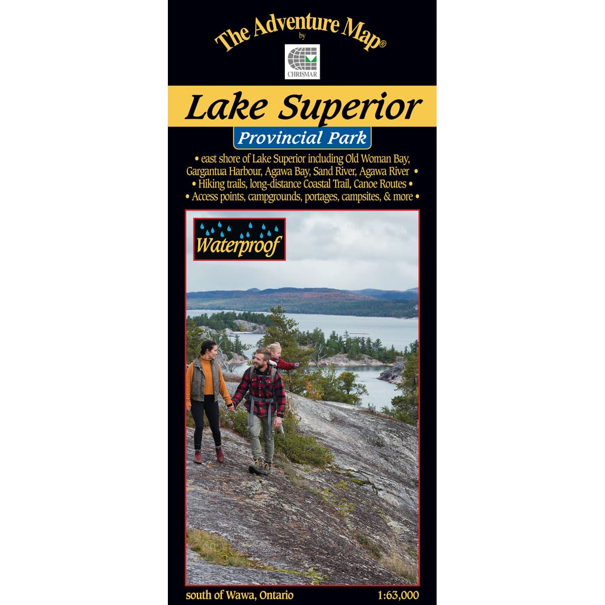
The Adventure Map Lake Superior Provincial Park

The Adventure Map Lake Superior Provincial Park

This comprehensive 1:63,000 map to the Park is all you'll need to tackle a truly extraordinary paddling, hiking or backpacking challenge. This huge Park includes many backcountry opportunities in addition to the coast, as in 143km of hiking & backpacking trails, including a challenging 65km Coastal backpacking trail, over 200km of backcountry canoe routes, a superb 95km Coast paddling route, 205 car campsites in 2 well-serviced campgrounds, over 160 backcountry campsites, not to mention the 3,158 lakes.

$16.95
Chrismar Logo
5-Star Service
Trusted Equipment
Free Shipping
Free Shipping Over $50
5-Star Service
5-Star Service

Lake Superior Provincial Park

  • Scale : 1:63,000
  • Waterproof
  • Map features : East Shore of Lake Superior including Old Woman Bay, Gargantua Harbour, Agawa Bay, Sand River, Agawa River, hiking trails, canoe routes, access points, campgrounds, portages, campsites and more
  • Back Side: Providing local history, route descriptions, safety issues, contact and other information to help you plan and take your trip
Specifications
SKUAM0605
BrandChrismar

Reviews

Back to Top