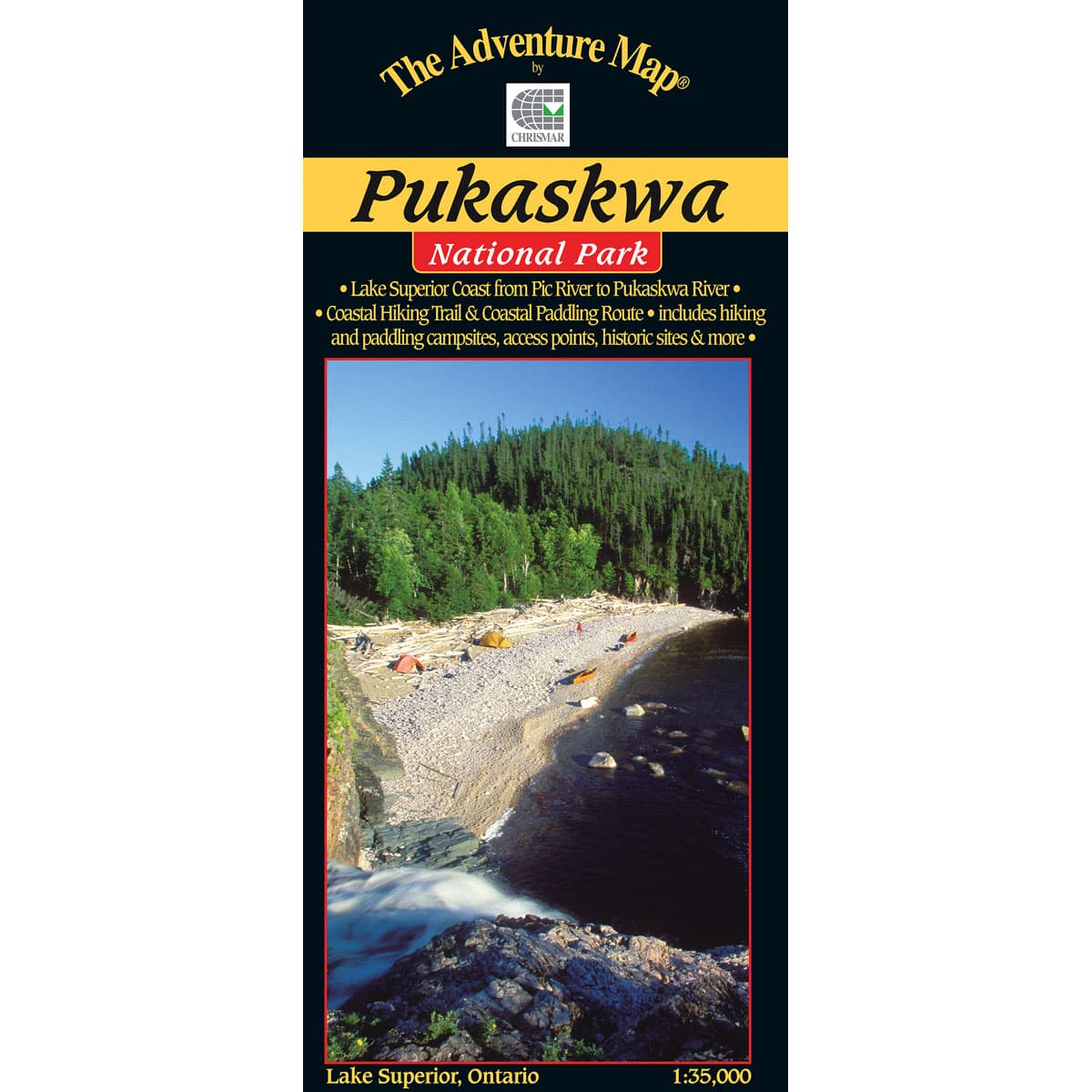
The Adventure Map Pukaskwa National Park
On the eastern coast of Lake Superior, Pukaskwa's dramatic and rugged terrain offers 135km of shoreline to paddle and over 60km of hiking through beautiful boreal forest. At a scale of 1:30,000 check out mapped features like paddling campsites, historic sites, or the White River Suspension Bridge with its awesome view high above a roaring waterfall.
$16.95
Trusted Equipment
5-Star Service


