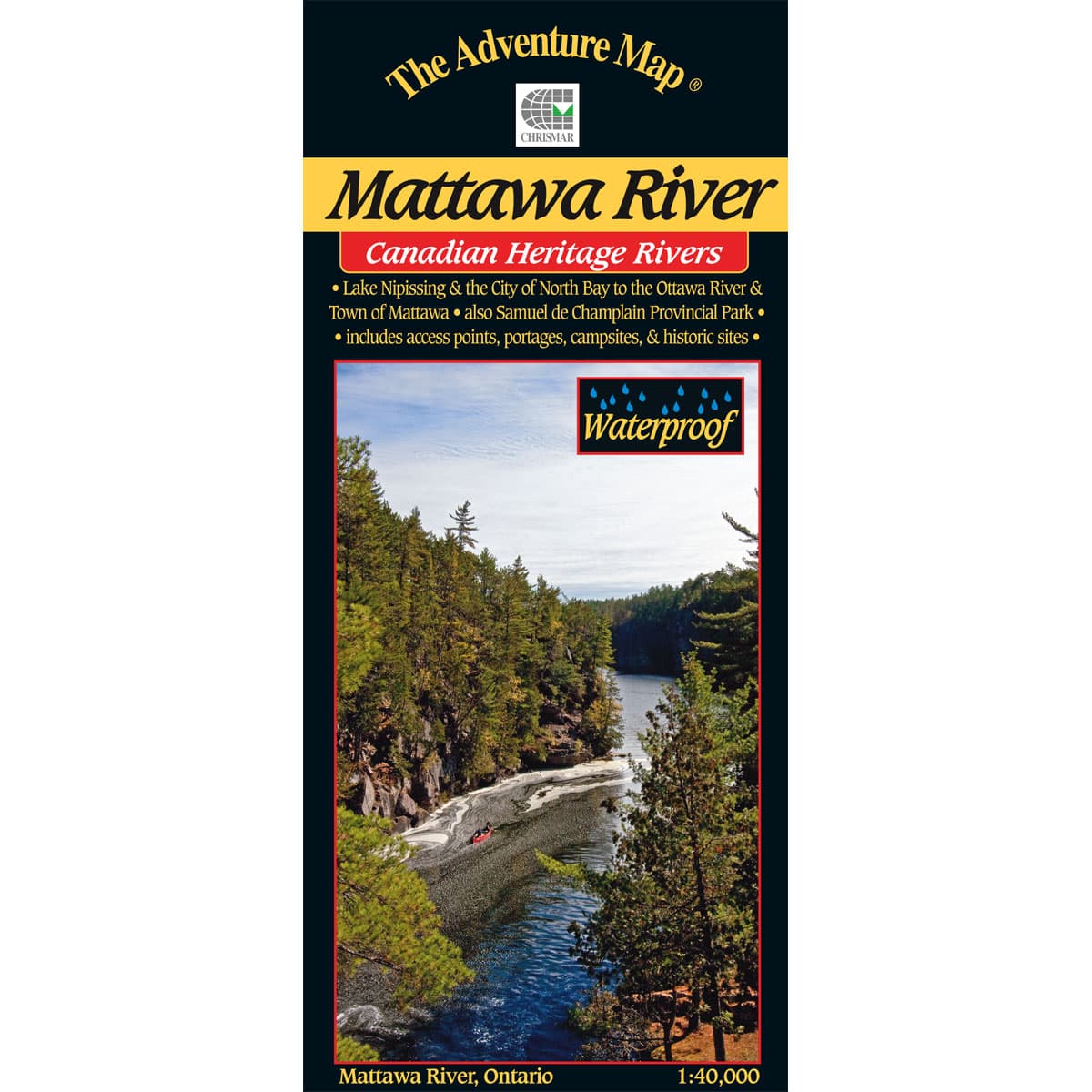
The historic Mattawa River is located between Lake Nipissing and the Town of Mattawa. This map features Samuel de Champlain Provincial Park (a great base to explore the are from), campsites, portages, points of interest, roads and trails at 1:40,000 scale, and the inset maps focus on the fur trade route across eastern Canada. The Mattawa has been designated a Canadian Heritage River, as it has been in use by local First Nations for millennia, but was also used extensively during the fur trade.
Mattawa River
- Scale : 1:40,000
- Waterproof
- Map features : Lake Nipissing and the City of North Bay to the Ottawa River and Town of Mattawa, and Samuel de Champlain Provincial Park. Includes access points, portages, campsites and historic sites
- Back Side: Providing local history, route descriptions, safety issues, contact and other information to help you plan and take your trip
Compact and Waterproof
The Adventure Map is compact (most measure 18x24"/45x61cm or less), easy to read, and doesn't require instructions to help you with folding! The Adventure Maps are also waterproof. The maps are printed on specially-made, extra tough, waterproof plastic. Put to the test, of being stomped, crumpled and drowned, to be certain it won't let you down in adventurous (i.e. fog, rain, sleet, snow, sweat) situations.
Loaded with Info
The Adventure Map isn't just an exceptionally good topographic recreation map; The back is also filled with colour photos, important information about the area including natural and human history, local regulations, outdoor tips, safety concerns, addresses, useful phone numbers and more.