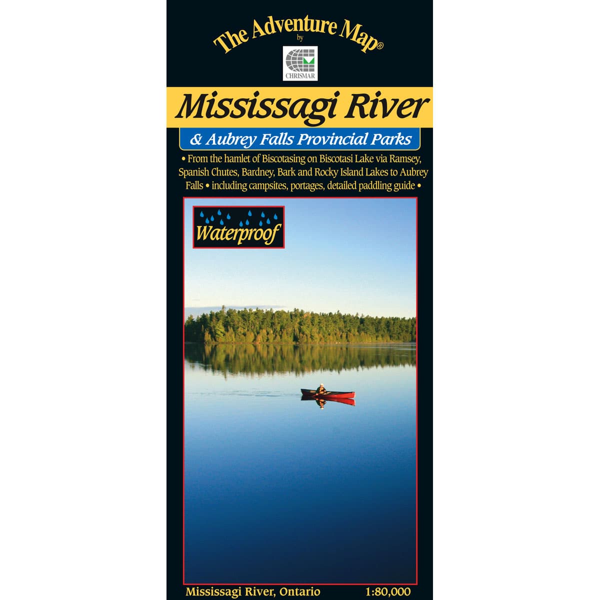
The Adventure Map Mississagi River
This is one of Ontario's lesser known and lesser used wilderness paddling rivers. This waterproof, 1:80,000 scale map, features the area from the hamlet of Biscotasing on the Biscotti Lake via Ramsey, Spanish Chutes, Barney, Bark and Rocky islands to Aubrey falls, including campsites, portages detailed paddling guide.
$16.95
Trusted Equipment
5-Star Service


