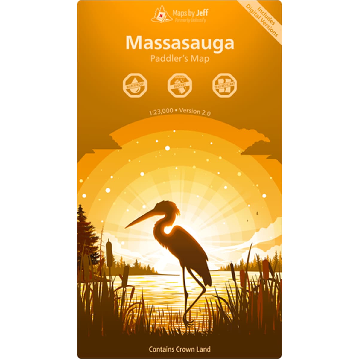
The newly updated Maps By Jeff - Massasauga Paddling Map, like all of Jeff's Maps, relentlessly details all aspects of trip planning including routes, sights of interest, times and difficulties of Massassauga Provincial Park.
Starting with a road map to the 9 water access points in the area, Massasauga Paddling Map planning side spells out which have canoe rentals, supplies, or extra fees. Included also is every single canoe route, every portage, and even the hiking trails and beaches. The planning side of the map will help you choose your path; connecting as many points of interest as you can, or heading straight for your own secret little secluded spot.
All campsites, reservable park sites, and crown land free sites, are clearly marked and numbered. All portages are graded for difficulty, as well as length, steepness, and time.
Once you set out, you turn over to the trip-map side. The plan side is focused on helping you choose between all the things you could do, the trip side is all about where you currently are. You’ll never park in the wrong spot at Three Legged Lake and you’ll easily find the “Seldom Seen” campsite, if that’s part of your plan. The trip side is completely focused on helping you navigate your way to and from all the things you’ve decided to do (like checking out the Waubuno shipwreck). Detailed directions, and time of year tips (water levels, winds, and even poison ivy) means not a single granite striped stone is left unturned.
When you buy a map, you'll also get six different formats:
- a printed waterproof & tear resistant copy
- an Avenza Maps compatible file (for iOS/Android)
- a Garmin 'Custom Map' file, compatible with most modern GPS's (except the InReach mini/SE/Explorer)
- a Google Earth Pro file
- a high-resolution JPEG – great for making enlargements
- a GeoTIFF, compatible with most mapping software