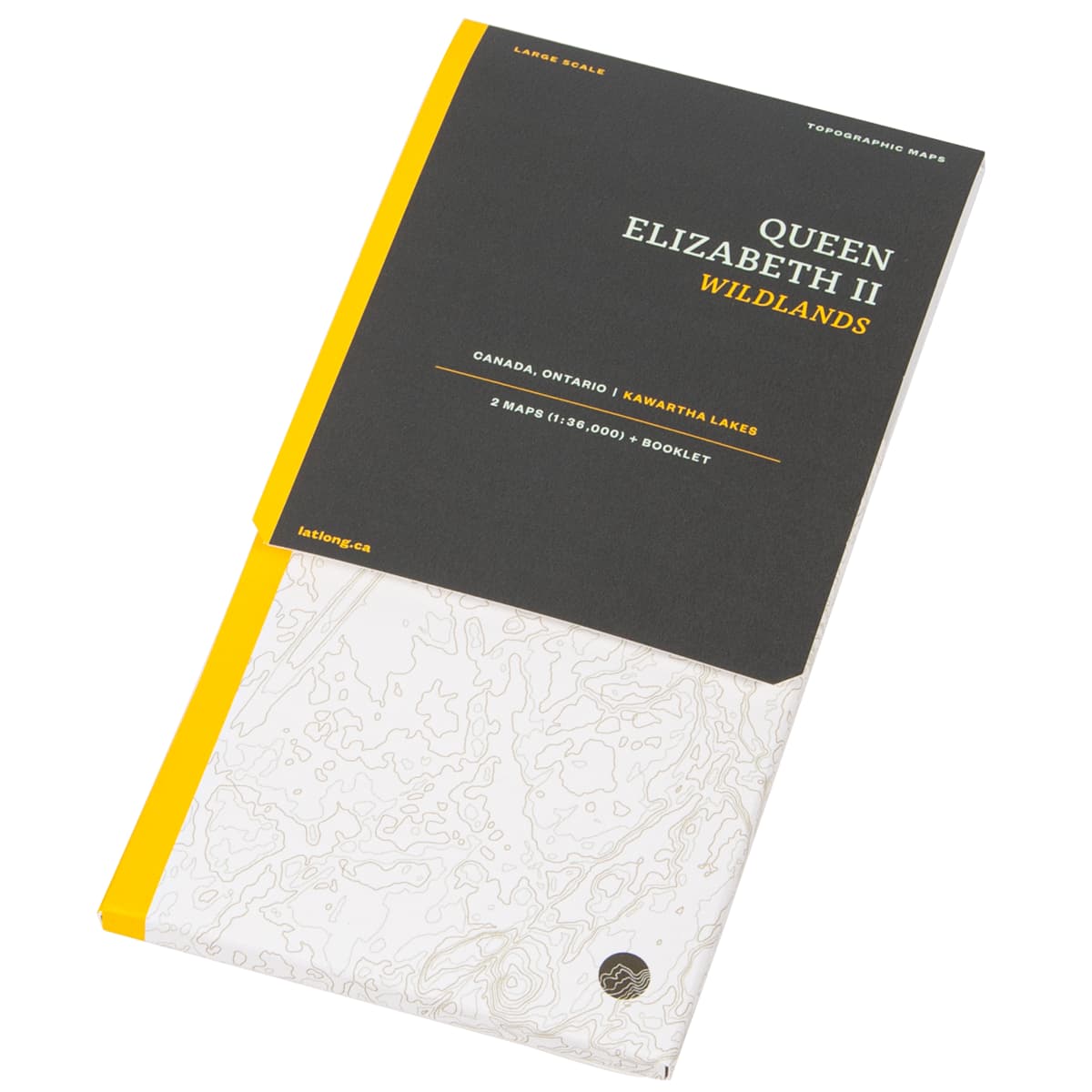
LatLong Queen Elizabeth II Wildlands Provincial Park Map
Queen Elizabeth II Wildlands Provincial Park is the second largest wilderness area in south central Ontario. This two map set (1:36,000) provides detailed info on campsites, trails and portages, navigation obstacles, points of interest, contours lines, and more.
$14.13
US

Trusted Equipment
5-Star Service