Menu
Trusted Equipment Trusted Equipment
Fast, Free Shipping Fast, Free Shipping
Customer Service 5-Star Service
No Hassle Returns Expert Advice
Currency Orders over $50 Ship Free *
Due to a strike action by Canada Post workers, postal delivery methods for orders are currently unavailable. All orders will be shipped via FedEx, or in the case of orders that qualify for free shipping, via Fedx, CanPar, Purolator or UPS. Please note that all services are experiencing delays of 3 - 5 days due to higher than normal volumes.
X
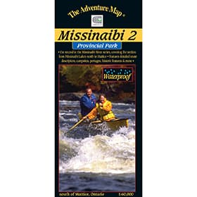
The Adventure Map Missinaibi 2 - Missinaibi Lake to Mattice

The Adventure Map Missinaibi 2 - Missinaibi Lake to Mattice

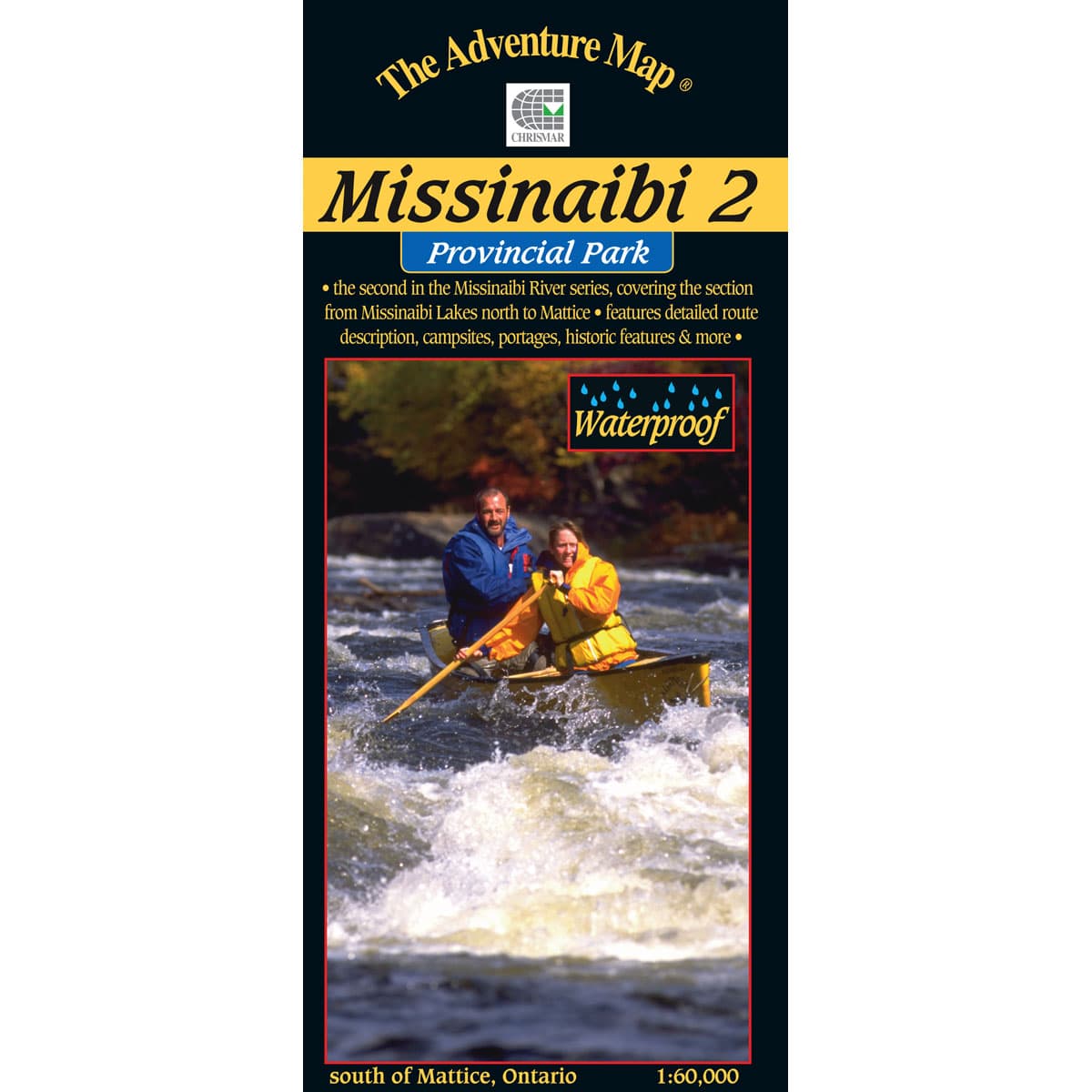
This second guide in the Missinabi series covers 191 kms of water: from the north end of Missinaibi Lake to the Town of Mattice. Access to this area can be difficult, so to help in your preplanning stage, Chrismar added information about travel options to reach this destination, including car, shuttles, trains, and outfitters.

$16.95
Chrismar Logo
5-Star Service
Trusted Equipment
Free Shipping
Free Shipping Over $50
5-Star Service
5-Star Service

The second guide in Chrismar's Missinabi series covers 191 kms of water: from the north end of Missinaibi Lake to the Town of Mattice. With a detailed scale of 1:60,000, this waterproof map can survive guiding you down the abundance of whitewater rapids on this route, or show you the portages around them. On this route, you'll be able to visit the site of one of the Hudsons Bay Company's most important posts during the fur trade, where they rivalled the Northwest Company for fur-trading dominance here in the "new world". This can be found on the backside of the map, as well as safety tips, contact info, and colour photographs. Access to this area can be difficult, so to help in your preplanning stage, Chrismar has also added information about travel options to reach this destination - including car, shuttles, trains, and outfitters.

Missinaibi 2 - Missinaibi Lake to Mattice

  • Scale : 1:60,000
  • Waterproof
  • Map features: North end of Missinaibi Lake to the Town of Mattice, access points, portages, campsites and historic sites
  • Back Side: Providing local history, route descriptions, safety issues, contact and other information to help you plan and take your trip
Designed for Adventurers
The Adventure Map is specifically designed for outdoor adventurers such as hikers, backpackers, and paddling enthusiasts who need an accurate, up-to-date, rugged map to get them into and safely back from the wilderness. You'll find all kinds of innovations and enhancements not found on other maps. Chrismar has even eliminated those annoying declination problems for you.

Specifications
SKUAM0923
BrandChrismar

Reviews

Back to Top