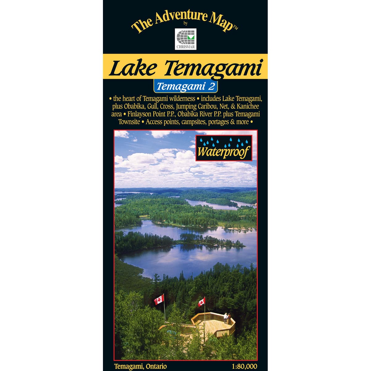
The Adventure Map Temagami 2 Lake Temagami
This 1:80,000 scale map features the heart of Temagami - the octopus-like lake that has become one of Ontario's more popular tourist destinations, and is a a superb paddling and hiking destination. The Lake Temagami map includes the area from Obabika Lake to the west, Diamond Lake to the north, the village of Temagami, White Bear Forest and Cassels Lake to the east, and Wawiashkashi Lake, the edge of the Sturgeon River and Marion Lake to the south. It also includes Finlayson Point Provincial Park just south of the village.
$16.95
Trusted Equipment
5-Star Service


