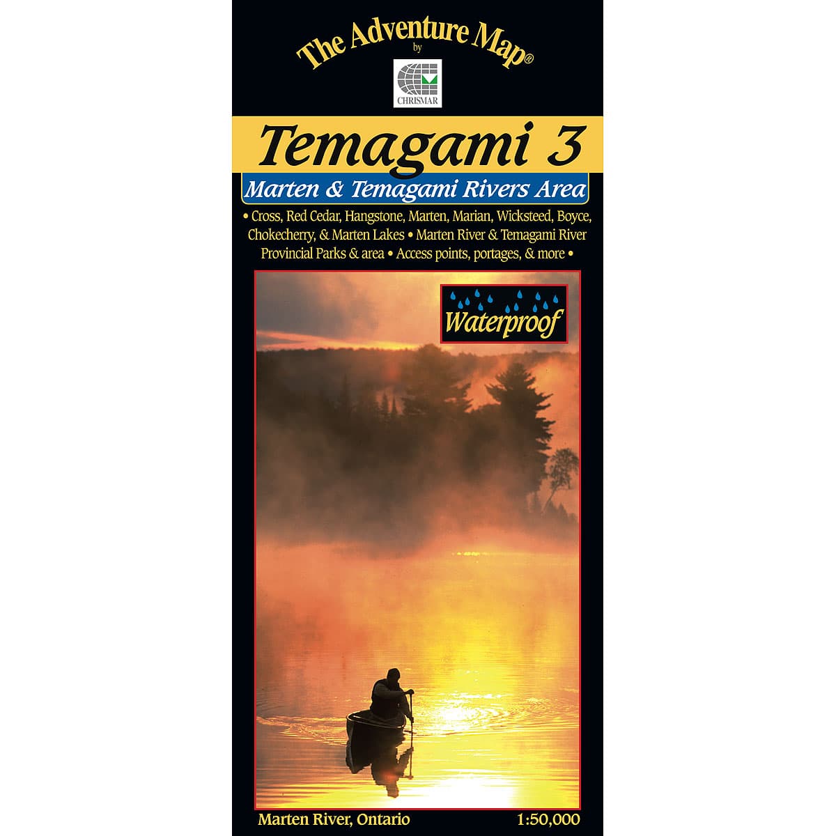
The Adventure Map Temagami 3 Marten River & Temagami River Area
This map shows the less-well-known south-eastern portion of Temagami, which makes it a great paddling location for those hoping to avoid the summer congestion of Lake Temagami to the north. At 1:50,000 scale this map includes, the area from the west tip of Wicksteed Lake and the railway to the east, Jumping Caribou Lake to the north, Cross Lake and the northern part of Temagami River to the west, and Red Cedar Lake to the south.
$13.95
Trusted Equipment
5-Star Service


