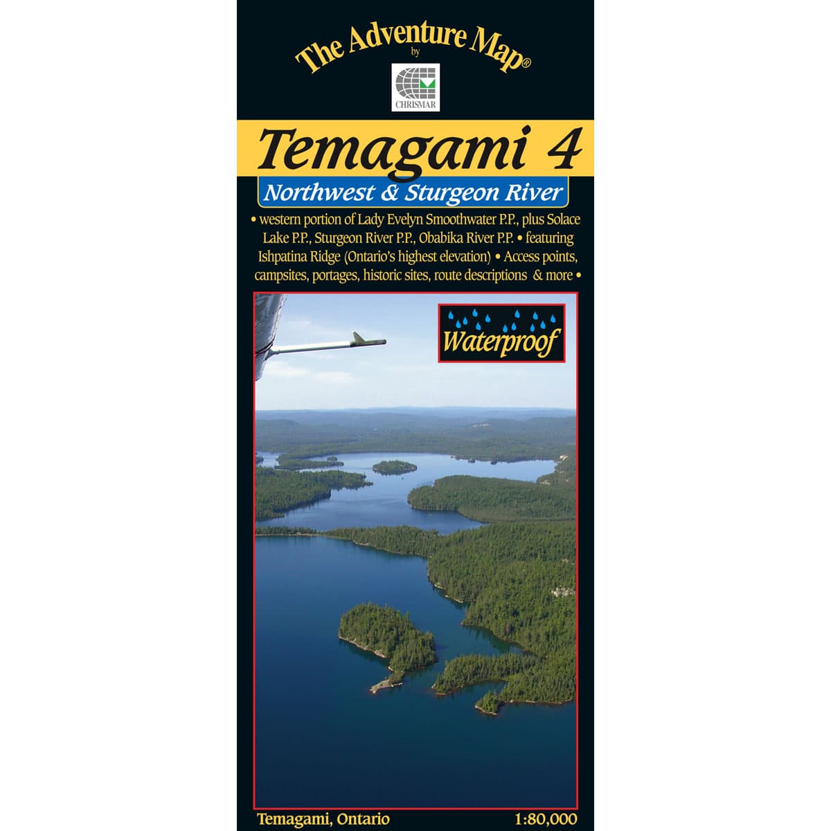
The Adventure Map Temagami 4 Northwest & Sturgeon River
This map shows the more remote western side of classic Temagami; the ideal area for a fly-in trip or a lengthy multi-week route. In addition to a selection of paddling routes through large and small lakes, there are several great river routes, and even the chance to hike to the highest elevation in Ontario, Ishpatina Peak. This 1:80,000 scale map, features parts of 5 different provincial parks, as well as several conservation reserves.
$16.95
Trusted Equipment
5-Star Service


