Expert Reviews
Edible and Medicinal Plants of Canada Field Guide
Our books, dvds, maps and compasses help you prepare for your time outdoors adding to both your safety and your comfort.
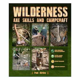 Wilderness Axe Skills and Campcraft
$36.75
Wilderness Axe Skills and Campcraft
$36.75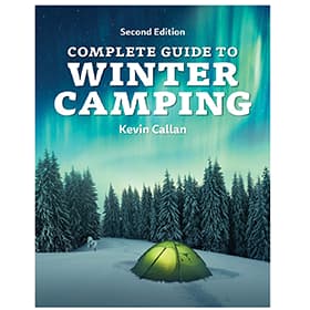 Complete Guide to Winter Camping - 2nd Edition
$24.95
Complete Guide to Winter Camping - 2nd Edition
$24.95 Get Outside
$28.00
Get Outside
$28.00 Outdoors the Scandinavian Way - Using a Knife
$25.50
Outdoors the Scandinavian Way - Using a Knife
$25.50 Outdoors the Scandinavian Way - Using an Axe
$25.50
Outdoors the Scandinavian Way - Using an Axe
$25.50 Spirit Animals - The Wisdom of Nature
$18.95
Spirit Animals - The Wisdom of Nature
$18.95 Wilderness Pleasures
$24.95
Wilderness Pleasures
$24.95 The Happy Camper The Essential Guide to Life Outdoors
$24.95
The Happy Camper The Essential Guide to Life Outdoors
$24.95 Compact Guide to Ontario Birds
$19.95
Compact Guide to Ontario Birds
$19.95 Weather of Ontario
$24.95
Weather of Ontario
$24.95 Cory Trepanier - Into The Arctic Two
$19.99
Cory Trepanier - Into The Arctic Two
$19.99 Mors Kochanski - The Grand Syllabus
$18.95
Mors Kochanski - The Grand Syllabus
$18.95 A Paddler's Guide to the Rivers of Ontario and Quebec
$19.95
A Paddler's Guide to the Rivers of Ontario and Quebec
$19.95 Spirit Animals
$9.99
Spirit Animals
$9.99 Dufferin Hikes
$29.95
Dufferin Hikes
$29.95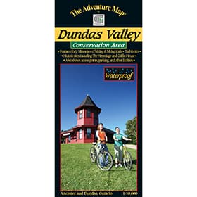 The Adventure Map Dundas Valley Conservation Area
$9.95
The Adventure Map Dundas Valley Conservation Area
$9.95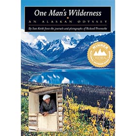 One Man's Wilderness
$42.00
One Man's Wilderness
$42.00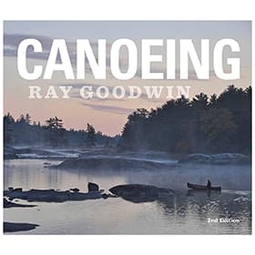 Ray Goodwin: Canoeing - Second Edition
$41.50
Ray Goodwin: Canoeing - Second Edition
$41.50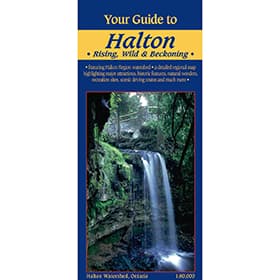 Your Guide to Halton Region
$5.95
Your Guide to Halton Region
$5.95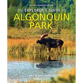 The Explorer's Guide to Algonquin Park
$29.95
The Explorer's Guide to Algonquin Park
$29.95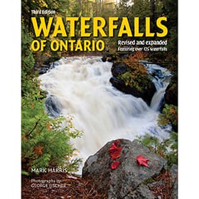 Waterfalls of Ontario
$19.95
Waterfalls of Ontario
$19.95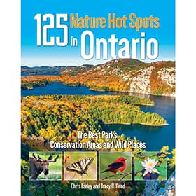 125 Nature Hot Spots in Ontario
$29.95
125 Nature Hot Spots in Ontario
$29.95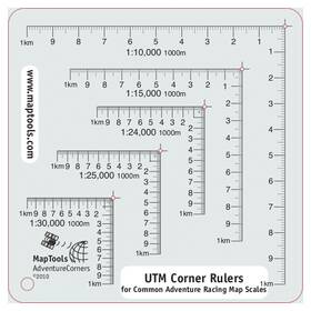 UTM Corner Ruler Adventure Racing
$8.95
UTM Corner Ruler Adventure Racing
$8.95 LatLong Killarney Provincial Park Map
$22.00
LatLong Killarney Provincial Park Map
$22.00 Edible & Medicinal Plants of The Rockies
$28.95
Edible & Medicinal Plants of The Rockies
$28.95 Observing Nature By Canoe & Kayak
$24.95
Observing Nature By Canoe & Kayak
$24.95 Birchbark Canoe - Living Among The Algonquin
$19.95
Birchbark Canoe - Living Among The Algonquin
$19.95 Wildlife Watcher Guide
$9.95
Wildlife Watcher Guide
$9.95 Temagami - A Wilderness Paradise
$24.95Sold Out
Temagami - A Wilderness Paradise
$24.95Sold Out Mors Kochanski - Blades: Sharpening & Safe Use - DVD
Sold Out
Mors Kochanski - Blades: Sharpening & Safe Use - DVD
Sold Out A Paddler's Guide to Ontario's Cottage Country
Sold Out
A Paddler's Guide to Ontario's Cottage Country
Sold Out Ray Mears Essential Bushcraft
Sold Out
Ray Mears Essential Bushcraft
Sold Out A Paddler's Guide To Weekend Wilderness Adventures in Southern Ontario
Sold Out
A Paddler's Guide To Weekend Wilderness Adventures in Southern Ontario
Sold Out Snow Walker's Companion
Sold Out
Snow Walker's Companion
Sold Out Ontario Animal Tracks
Sold Out
Ontario Animal Tracks
Sold Out Plants of Southern Ontario
Sold Out
Plants of Southern Ontario
Sold Out A Paddler's Guide to Ontario's Lost Canoe Routes
Sold Out
A Paddler's Guide to Ontario's Lost Canoe Routes
Sold Out French River Planning Map
Sold Out
French River Planning Map
Sold Out Canadian Outdoor Survival Guide
Sold Out
Canadian Outdoor Survival Guide
Sold Out Mors Kochanski - Clothing & Sleeping Bags - DVD
"The more you know, the less you carry" - Mors Kochanski.
Having good information about the area you’re travelling into via maps, field guides, and route planners along with good outdoor skills and knowledge can add to your safety, comfort and contentment when in the outdoors. Become expert, and as Mors says, it can even lighten your load. We offer various books, DVD’s, maps and the all important compass to facilitate learning, and familiarizing oneself with the skills, techniques and areas of travel.