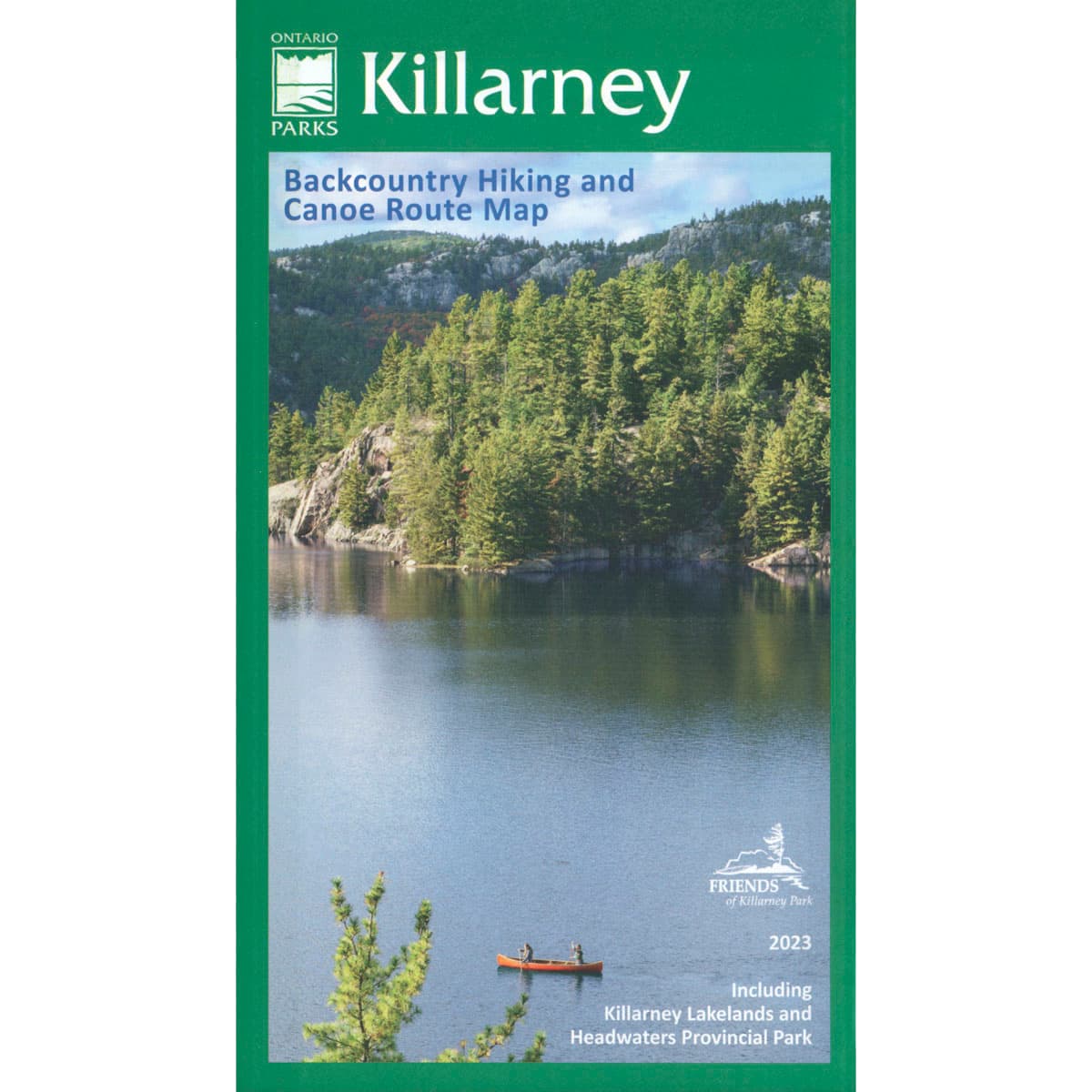
Killarney Planning Map
This Killarney Planning Map is a medium scale (1:55,000) large format, waterproof, map that covers the entirety of the park on the north shore of Ontario's Georgian Bay. It's also the official Ontario Parks map for Killarney park.
$24.95
Trusted Equipment
5-Star Service