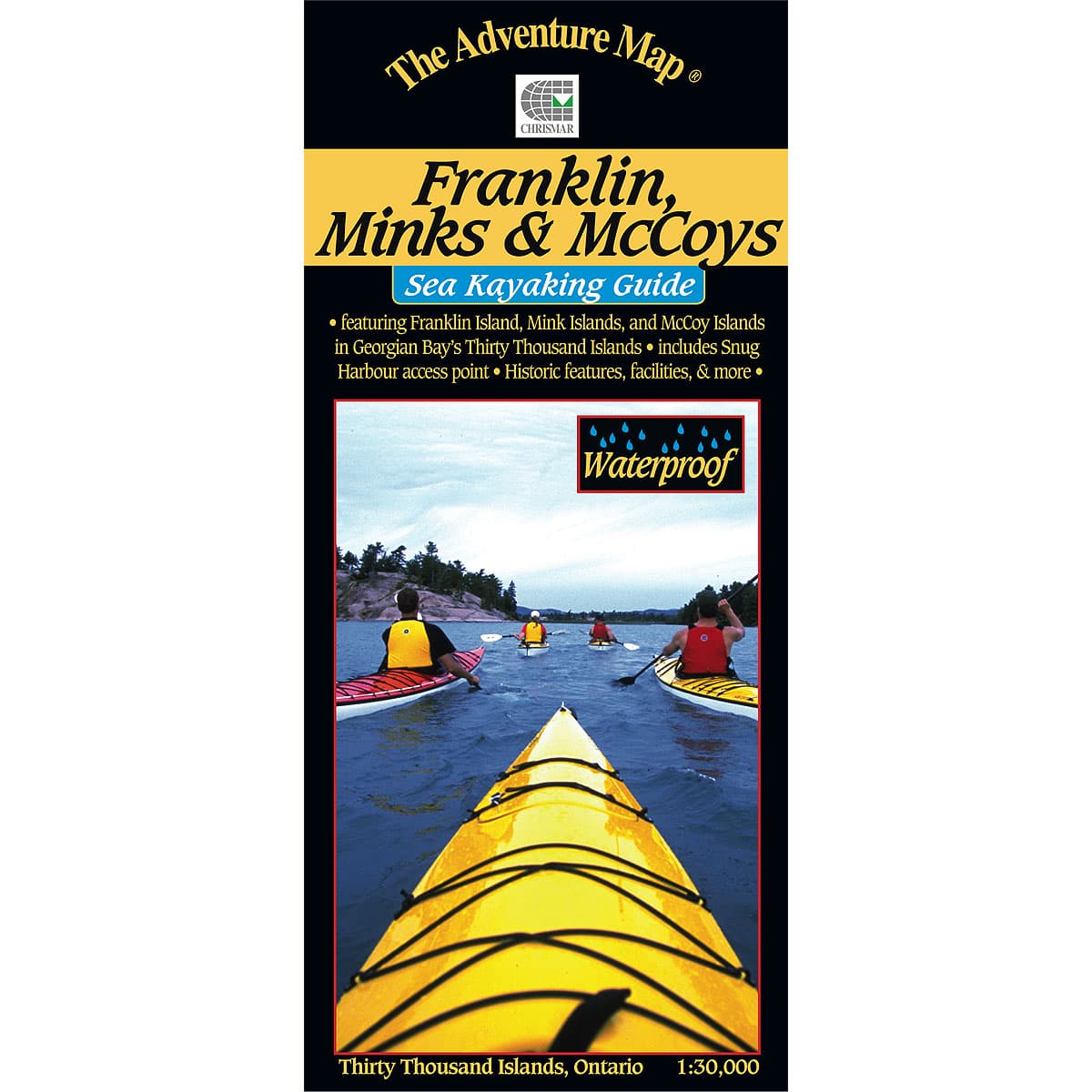
The Adventure Map Franklin, Mink & McCoy Islands
A 1:30,000 scale waterproof map that includes Franklin Island and its satellite islands, the Mink Islands, and the McCoy Islands. This area of Georgian Bay is an essential destination for any sea kayaking enthusiast, the pristine wilderness of these islands makes for a beautiful and scenic trip.
$13.95
Trusted Equipment
5-Star Service


