We no longer offer Unlostify Killarney Camping Map and have redirected you to
the product we now carry in its place.
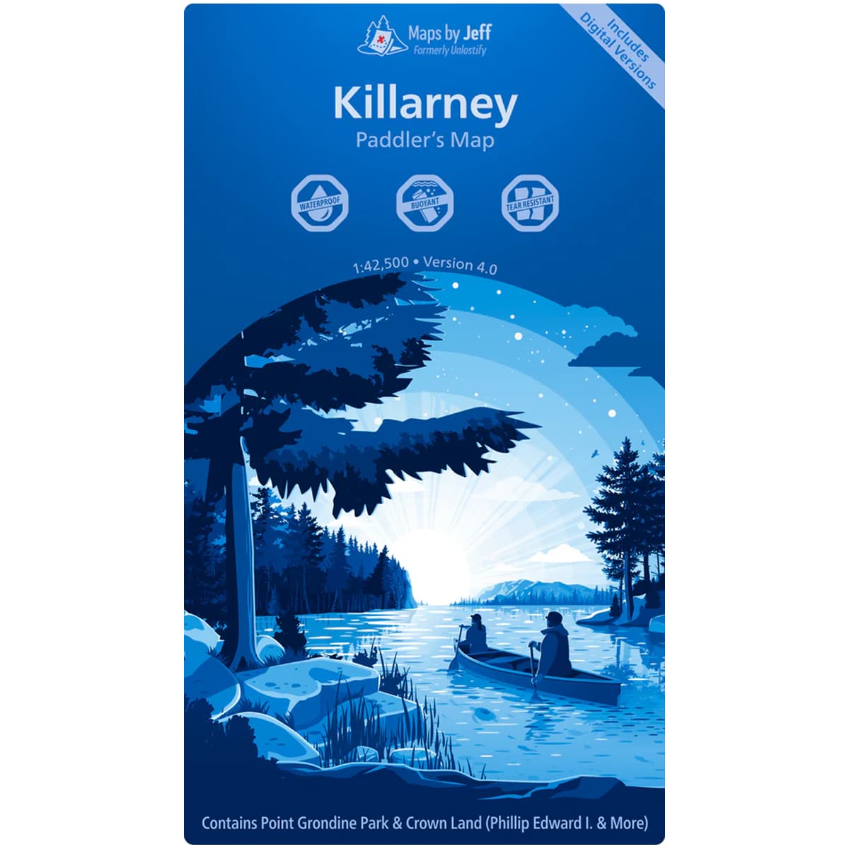
Maps By Jeff - Killarney Paddling Map
The Maps By Jeff - Killarney Paddling Map provides the means for planning and executing a trip in Killarney Provincial Park, including access points, supply locations, canoe routes, portages and hiking routes (complete with times, length and difficulty guides), points of interest, local history and more. Waterproof and tear-resistant, the Maps By Jeff - Killarney Paddling Map is a must have for your Killarney trips.
$18.80
US
Trusted Equipment
5-Star Service
The Maps By Jeff - Killarney Paddling Map map provides the means for planning and executing a trip in Killarney Provincial Park.
Expertly researched, this map lays out the access points in the area as well as which have canoe rentals, supplies, etc. as well as canoe routes, portages, hiking routes - complete with times, length and difficulty guide - ensures that you plan a trip that all of your party will enjoy. Local historical sites, as well as area of interest, water level info, prevailing winds info, even patches of poison ivy to be aware of make planning and executing a trip a breeze.
Scale: 1:42,500
| Specifications | |
|---|---|
| SKU | 9781989464090 |
| Brand | Maps By Jeff |