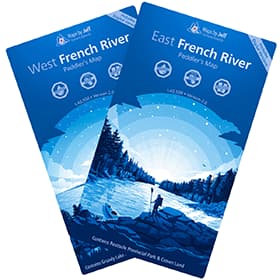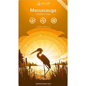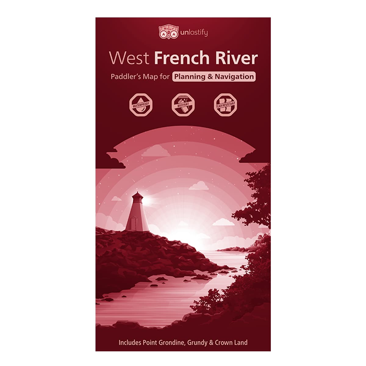
Unlostify West French River Camping Map
Ever seen the French River ghost town? Or the longest snowmobile bridge in the world? With the Unlostify West French River Camping Map, get ready to see more of the French River than ever before - including the west French River, Pointe Grondine, Grundy, and surrounding Crown Lands. Water proof, tear proof, and only 46 grams - it even floats.
$18.95
Trusted Equipment
5-Star Service